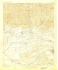
1904 Map of Pomona
USGS Topo · Published 1923About this map
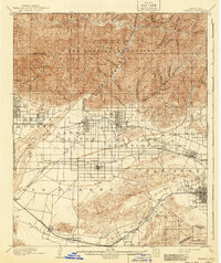
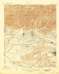
Lordsburg and Alosta anchor a landscape of citrus-era growth at the base of the San Gabriel National Forest. Surveyed in the 1890s, this map captures the San Gabriel Valley before suburbanization, when irrigation from the San Gabriel River and numerous canyons like Big Dalton Canyon fueled the agricultural expansion of Covina, Azusa, and Glendora. The rail infrastructure is densely detailed, featuring the Atchison Topeka and Santa Fe and the Southern Pacific lines, which were vital for transporting regional produce. South of the main settlements, the terrain transitions into the Puente Hills and the ranching lands around Spadra and Puente. The map reveals the intricate network of washes, such as San Jose Wash and Walnut Creek, that dictated early road placement and property boundaries across the San Jose Addition.
Find a feature on this map
69 named features on this map. Tap any name to fly to it.
Don’t see what you’re looking for? This feature index may not catch every label — zoom into the map to look around manually.
Map Details
Editions of this 1904 Pomona Map
7 editions found

Other maps of this area

1894 · Los Angeles
USGS Topo · 1:62,500

1894 · Pomona
USGS Topo · 1:62,500

1896 · Pasadena
USGS Topo · 1:62,500

1896 · Anaheim
USGS Topo · 1:62,500

1896 · Downey
USGS Topo · 1:62,500

1897 · Pomona
USGS Topo · 1:62,500

1897 · Cucamonga
USGS Topo · 1:62,500

1898 · Pomona
USGS Topo · 1:62,500

1898 · Anaheim
USGS Topo · 1:62,500

1899 · Downey
USGS Topo · 1:62,500