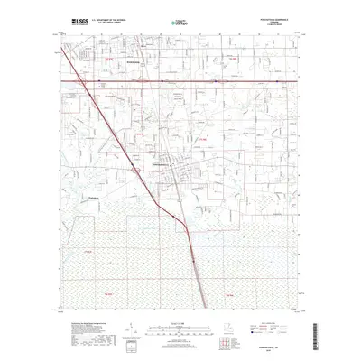
2018 Map of Ponchatoula
USGS Topo · Published 2018About this map
The growing urban corridors of Hammond and Ponchatoula dominate this 2018 survey, reflecting the modern residential and commercial density of Tangipahoa Parish. While the northern half of the quadrangle is defined by a tight grid of streets like W Coleman Ave and S Magnolia St, the southern portion transitions abruptly into the cypress-laden lowlands of the Four Mile Marsh. This sharp contrast highlights the geographic limit of the region's habitable land. Local history and genealogy are anchored by several notable sites, including Wetmore Cem and Arnold Cem, while the course of the Ponchatoula Creek and the Yellow Water River define the local drainage. Smaller pockets of settlement like Oliver and Wadesboro sit alongside major transit arteries, showing the evolution of the area from a rail-and-timber center into a contemporary suburban hub.
Find a feature on this map
239 named features on this map. Tap any name to fly to it.
Don’t see what you’re looking for? This feature index may not catch every label — zoom into the map to look around manually.
Map Details
Editions of this 2018 Ponchatoula Map
This is the sole edition of this map. No revisions or reprints were ever made.
Other maps of this area

1934 · Springfield
USGS Topo · 1:62,500

1935 · Ponchatoula
USGS Topo · 1:62,500

1939 · Ponchatoula
USGS Topo · 1:62,500

1939 · Springfield
USGS Topo · 1:62,500

1940 · Tickfaw
USGS Topo · 1:31,680

1942 · Robert
USGS Topo · 1:31,680

1949 · Albany
USGS Topo · 1:31,680

1951 · Ponchatoula
USGS Topo · 1:62,500

1954 · Baton Rouge
USGS Topo · 1:250,000

1956 · Baton Rouge
USGS Topo · 1:250,000