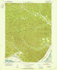
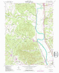
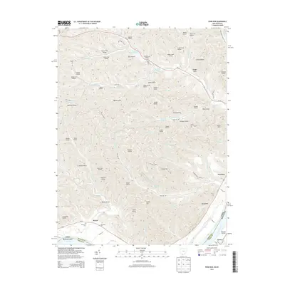
1951 Map of Pond Run
USGS Topo · Published 1951About this map
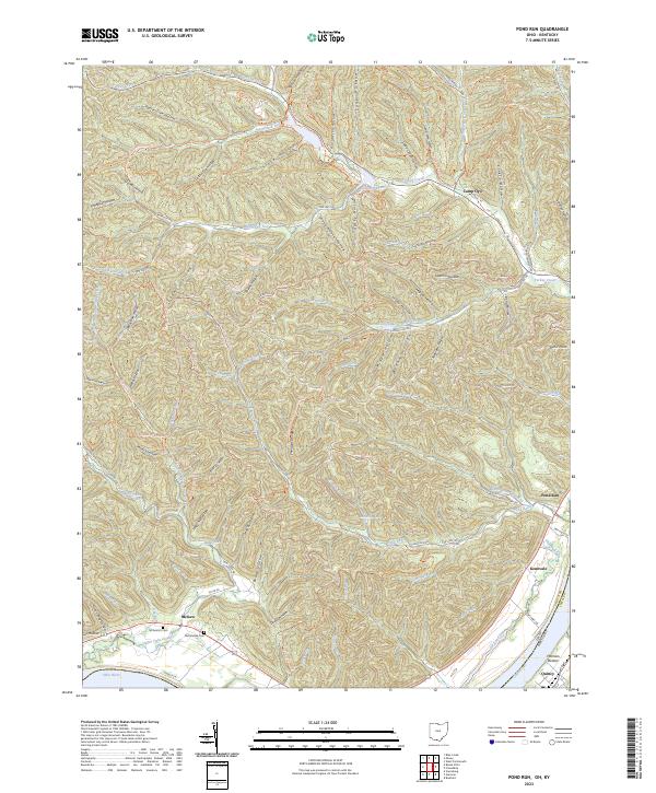
Shawnee State Forest dominates this 1951 topographic survey, covering a complex landscape of deeply carved hollows and ridgelines in southern Ohio. The terrain is marked by numerous family-named landmarks such as Mackletree Hollow, Bill Webb Hollow, and Molly Brown Hollow, suggesting a long history of rural land use and homesteading before the forest's consolidation. Along the northern edge, Turkey Creek winds past Roosevelt Lake, while to the south, the Ohio River forms the state boundary with Kentucky.
Find a feature on this map
72 named features on this map. Tap any name to fly to it.
Don’t see what you’re looking for? This feature index may not catch every label — zoom into the map to look around manually.
Map Details
Editions of this 1951 Pond Run Map
This is the sole edition of this map. No revisions or reprints were ever made.
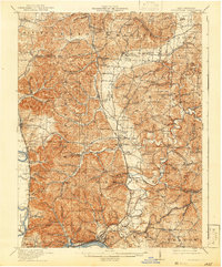
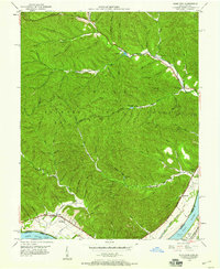
Historical Maps of Scioto County Through Time
16 maps found
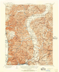
1911 Sciotoville
Scioto County, OH
1913 Sciotoville
Scioto County, OH
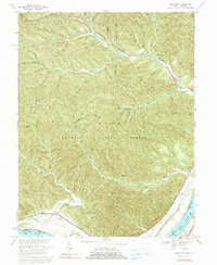
1949 Pond Run
Scioto County, OH
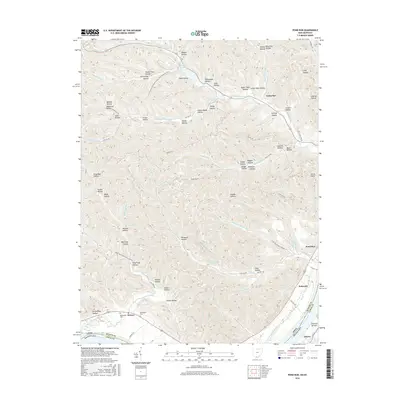
1951 Pond Run
Scioto County, OH
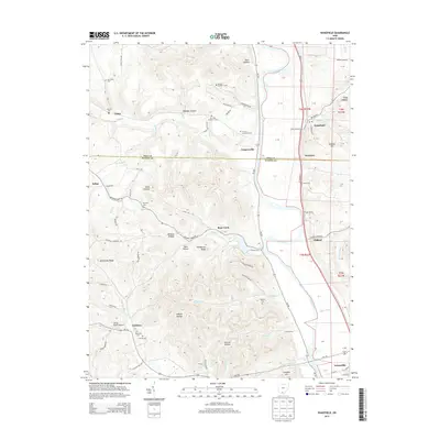
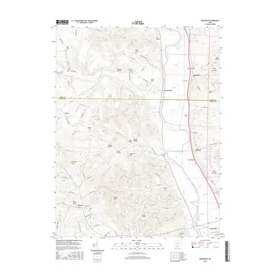
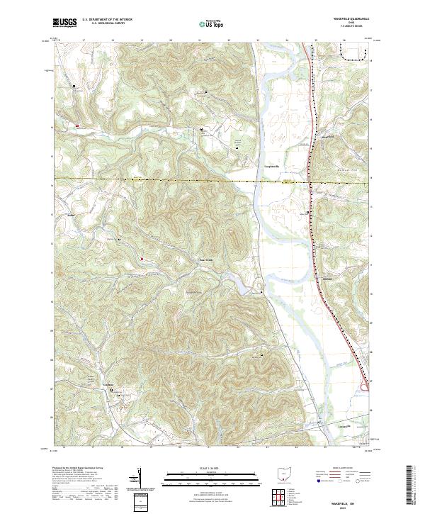
1961 Wakefield
Scioto County, OH
1967 Pond Run
Scioto County, OH
2010 Pond Run
Scioto County, OH
2010 Wakefield
Scioto County, OH
2013 Pond Run
Scioto County, OH
2013 Wakefield
Scioto County, OH
2016 Pond Run
Scioto County, OH
2016 Wakefield
Scioto County, OH
2019 Pond Run
Scioto County, OH
2019 Wakefield
Scioto County, OH
2023 Pond Run
Scioto County, OH
2023 Wakefield
Scioto County, OH