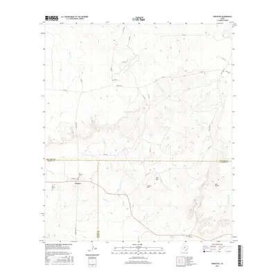
2016 Map of Pontotoc
USGS Topo · Published 2016About this map
Pontotoc anchors this 2016 survey at the meeting point of Mason, Llano, and San Saba counties. The community is defined by its deep historical roots, evidenced by both the Old Pontotoc Cem and the New Pontotoc Cem located along the arterial route of Ranch Rd 501. This is a landscape of creek drainages and granite outcroppings, where waterways like Field Creek and Cold Creek carve through the Texas Hill Country terrain.
Find a feature on this map
35 named features on this map. Tap any name to fly to it.
Don’t see what you’re looking for? This feature index may not catch every label — zoom into the map to look around manually.
Map Details
Editions of this 2016 Pontotoc Map
This is the sole edition of this map. No revisions or reprints were ever made.
Other maps of this area

1885 · San Saba
USGS Topo · 1:125,000

1887 · Llano
USGS Topo · 1:125,000

1887 · Mason
USGS Topo · 1:125,000

1894 · Brady
USGS Topo · 1:125,000

1894 · Mason
USGS Topo · 1:125,000

1894 · San Saba
USGS Topo · 1:125,000

1894 · Llano
USGS Topo · 1:125,000

1904 · Llano
USGS Topo · 1:125,000

1909 · Llano
USGS Topo · 1:125,000

1918 · Llano
USGS Topo · 1:125,000