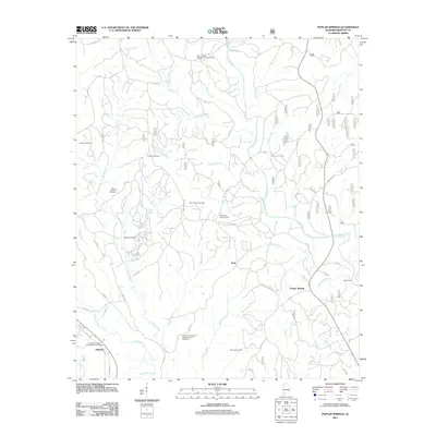
2011 Map of Poplar Springs
USGS Topo · Published 2011About this map
Poplar Springs and the small settlements of Natis and Ashbank anchor this portion of Winston County, defined by a dense network of creek branches and rural cemeteries. The landscape is carved by Clear Creek, Browns Creek, and Indian Creek, with the Nauvoo Gas Field indicating the region's industrial footprint. Numerous family and community burial grounds, including the Holden Cemetery, Kaeiser Cemetery, and Cooper Cemetery, provide significant data for genealogical research. Religious life is centered around landmarks like the Mount Ebron Baptist Church Cemetery and Ashbank Freewill Baptist Church Cemetery. The presence of the Wilderness Campground and Spain Ford on the eastern edge suggests a landscape where traditional water crossings and outdoor recreation persist alongside the established road network of Rocky Plains Rd and numerous county routes.
Find a feature on this map
92 named features on this map. Tap any name to fly to it.
Don’t see what you’re looking for? This feature index may not catch every label — zoom into the map to look around manually.
Map Details
Editions of this 2011 Poplar Springs Map
This is the sole edition of this map. No revisions or reprints were ever made.
Other maps of this area

1893 · Jasper
USGS Topo · 1:125,000

1936 · Delmar
USGS Topo · 1:24,000

1949 · Manchester
USGS Topo · 1:24,000

1949 · Nauvoo
USGS Topo · 1:24,000

1950 · Nauvoo
USGS Topo · 1:24,000

1950 · Manchester
USGS Topo · 1:24,000

1953 · Birmingham
USGS Topo · 1:250,000

1956 · Birmingham
USGS Topo · 1:250,000

1956 · Gadsden
USGS Topo · 1:250,000

1957 · Birmingham
USGS Topo · 1:250,000