
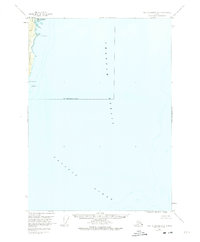
1951 Map of Port Alexander B-3 and B-4
USGS Topo · Published 1959About this map
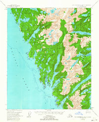
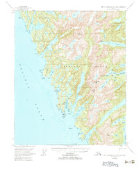
Baranof Island presents a complex coastline of deep fjords and alpine lakes in this mid-century survey of Southeast Alaska. The map centers on the concentrated maritime activity at Big Port Walter and the settlement of Port Armstrong on the eastern shore, illustrating the region's reliance on sheltered harbors for commerce and survival. Inland, the terrain rises sharply to Ptarmigan Peak and Mt Kolloen, punctuated by numerous high-altitude water bodies such as Borodino Lake and Sashin Lake. The western coast, facing the Pacific Ocean, is characterized by the protective Kekur Peninsula and the intricate reaches of Snipe Bay. This period of documentation shows the landscape before modern development, marking isolated features like a lone Cabin near Denmark Cove, which hints at the solitary nature of trapping or prospecting in the Big Branch Bay vicinity during the 1950s.
Find a feature on this map
55 named features on this map. Tap any name to fly to it.
Don’t see what you’re looking for? This feature index may not catch every label — zoom into the map to look around manually.
Map Details
Editions of this 1951 Port Alexander B-3 and B-4 Map
Other maps of this area

1948 · Port Alexander A-2
USGS Topo · 1:63,360
1948 · Port Alexander A-3
USGS Topo · 1:63,360

1948 · Port Alexander B-2
USGS Topo · 1:63,360

1951 · Port Alexander C-4
USGS Topo · 1:63,360

1951 · Port Alexander C-2
USGS Topo · 1:63,360

1951 · Port Alexander C-3
USGS Topo · 1:63,360

1951 · Port Alexander
USGS Topo · 1:250,000

1951 · Port Alexander B-2
USGS Topo · 1:63,360
1951 · Port Alexander A-3
USGS Topo · 1:63,360
1951 · Port Alexander A-2
USGS Topo · 1:63,360