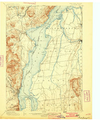
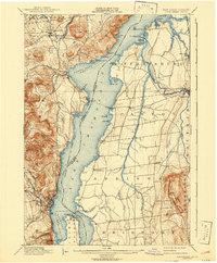
1898 Map of Port Henry
USGS Topo · Published 1901About this map
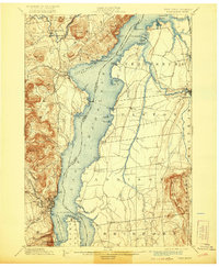
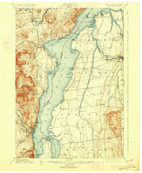
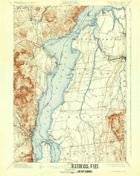
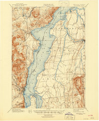
Lake Champlain serves as the central artery for this late nineteenth-century landscape, where the Champlain Transportation Co. Steamer Route connects the New York and Vermont shorelines. The map captures a high-water mark for the regional economy, depicting the industrial presence of Port Henry and the established rail networks of the Delaware & Hudson R. R. and the Central Vermont R. R. On the Vermont side, the ancient settlement of Vergennes sits at the head of navigation on Otter Creek, while the historic fortifications at Crown Point are clearly marked with both French Fort Ruins and English Fort Ruins. This survey highlights the era's reliance on the lake for both heavy transport and local trade, featuring numerous small harbors like Basin Harbor and Westport that served as vital nodes before the full dominance of overland trucking.
Find a feature on this map
86 named features on this map. Tap any name to fly to it.
Don’t see what you’re looking for? This feature index may not catch every label — zoom into the map to look around manually.
Map Details
Editions of this 1898 Port Henry Map
10 editions found
Other maps of this area

1894 · Elizabethtown
USGS Topo · 1:62,500

1894 · Port Henry
USGS Topo · 1:62,500

1894 · Ticonderoga
USGS Topo · 1:62,500

1895 · Willsboro
USGS Topo · 1:62,500

1895 · Elizabethtown
USGS Topo · 1:62,500

1895 · Ausable
USGS Topo · 1:62,500

1895 · Paradox Lake
USGS Topo · 1:62,500

1896 · Ticonderoga
USGS Topo · 1:62,500

1897 · Paradox Lake
USGS Topo · 1:62,500

1898 · Port Henry
USGS Topo · 1:62,500