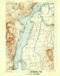
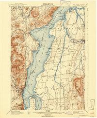
1898 Map of Port Henry
USGS Topo · Published 1932About this map
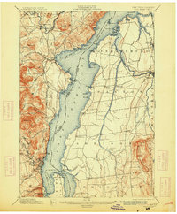
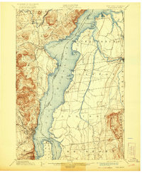
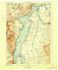
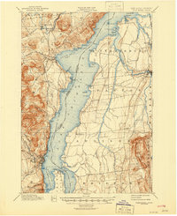
Lake Champlain serves as the central artery for this late 19th-century survey, dividing the steep terrain of Essex County, New York, from the agricultural plains of Addison County, Vermont. The narrow waters between Chimney Point and Crown Point highlight a strategic crossing point, marked by the presence of French Fort Ruins and Crown Pt. Fort Ruins, which speak to the area's colonial military significance. The industrial and maritime character of the era is evident in the Steamer Route tracing the center of the lake and the rail connections provided by the Hudson Delaware and the Central Vermont R. R.
Find a feature on this map
74 named features on this map. Tap any name to fly to it.
Don’t see what you’re looking for? This feature index may not catch every label — zoom into the map to look around manually.
Map Details
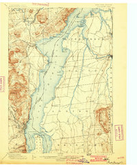
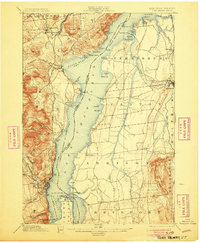
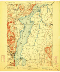
Editions of this 1898 Port Henry Map
10 editions found
Other maps of this area

1894 · Elizabethtown
USGS Topo · 1:62,500

1894 · Port Henry
USGS Topo · 1:62,500

1894 · Ticonderoga
USGS Topo · 1:62,500

1895 · Willsboro
USGS Topo · 1:62,500

1895 · Elizabethtown
USGS Topo · 1:62,500

1895 · Ausable
USGS Topo · 1:62,500

1895 · Paradox Lake
USGS Topo · 1:62,500

1896 · Ticonderoga
USGS Topo · 1:62,500

1897 · Paradox Lake
USGS Topo · 1:62,500

1898 · Port Henry
USGS Topo · 1:62,500