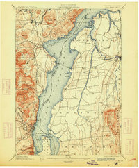
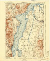
1898 Map of Port Henry
USGS Topo · Published 1913About this map
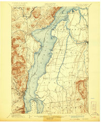
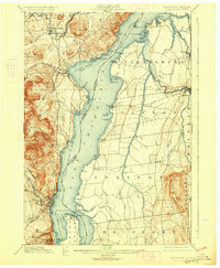
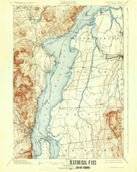
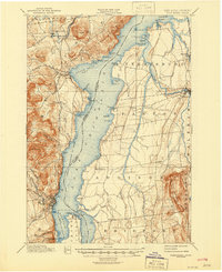
Lake Champlain serves as the central artery for this late 19th-century survey, defining the border between New York and Vermont. On the western shore, the industrial and transport hub of Port Henry is established along the Delaware and Hudson railroad, while Westport sits at the head of North West Bay. The Vermont side is characterized by the winding course of Otter Creek leading to Vergennes, and the smaller agricultural settlements of Addison and Panton.
Find a feature on this map
77 named features on this map. Tap any name to fly to it.
Don’t see what you’re looking for? This feature index may not catch every label — zoom into the map to look around manually.
Map Details
Editions of this 1898 Port Henry Map
10 editions found
Other maps of this area

1894 · Elizabethtown
USGS Topo · 1:62,500

1894 · Port Henry
USGS Topo · 1:62,500

1894 · Ticonderoga
USGS Topo · 1:62,500

1895 · Willsboro
USGS Topo · 1:62,500

1895 · Elizabethtown
USGS Topo · 1:62,500

1895 · Ausable
USGS Topo · 1:62,500

1895 · Paradox Lake
USGS Topo · 1:62,500

1896 · Ticonderoga
USGS Topo · 1:62,500

1897 · Paradox Lake
USGS Topo · 1:62,500

1898 · Port Henry
USGS Topo · 1:62,500