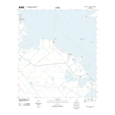
2010 Map of Port Lavaca East
USGS Topo · Published 2010About this map
Indianola Cemetery serves as a quiet reminder of the history along this stretch of the Texas coast, where the waters of Matagorda Bay and Lavaca Bay converge. The landscape is defined by its complex shoreline, characterized by features like Gallinipper Point and the shallow expanse of Chocolate Bay. Small communities such as Alamo Beach and Magnolia Beach are connected by a network of coastal roads including N Ocean Dr and FM 2760.
Find a feature on this map
31 named features on this map. Tap any name to fly to it.
Don’t see what you’re looking for? This feature index may not catch every label — zoom into the map to look around manually.
Map Details
Editions of this 2010 Port Lavaca East Map
This is the sole edition of this map. No revisions or reprints were ever made.
Other maps of this area

1951 · Keller Bay
USGS Topo · 1:24,000

1952 · Port Lavaca East
USGS Topo · 1:24,000

1952 · Point Comfort
USGS Topo · 1:24,000

1952 · Olivia
USGS Topo · 1:24,000

1952 · Kamey
USGS Topo · 1:24,000

1952 · Seadrift NE
USGS Topo · 1:24,000

1952 · Seadrift
USGS Topo · 1:24,000

1952 · Port Lavaca West
USGS Topo · 1:24,000

1952 · Port O'Connor
USGS Topo · 1:24,000

1953 · Beeville
USGS Topo · 1:250,000