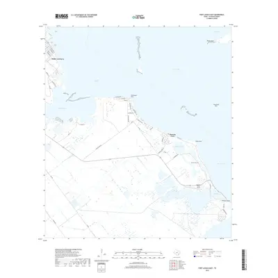
2019 Map of Port Lavaca East
USGS Topo · Published 2019About this map
Lavaca Bay and Matagorda Bay dominate this coastal landscape, where the tides shape a complex network of wetlands and tidal flats. Near the historic shoreline, Magnolia Beach serves as a primary settlement point, connected to the interior by routes like FM 2760 and Washington Ave. The map captures a transition between the established streets of eastern Port Lavaca and the more remote, marshy reaches of Indianola Island and Blind Bayou.
Find a feature on this map
45 named features on this map. Tap any name to fly to it.
Don’t see what you’re looking for? This feature index may not catch every label — zoom into the map to look around manually.
Map Details
Editions of this 2019 Port Lavaca East Map
This is the sole edition of this map. No revisions or reprints were ever made.
Other maps of this area

1951 · Keller Bay
USGS Topo · 1:24,000

1952 · Port Lavaca East
USGS Topo · 1:24,000

1952 · Point Comfort
USGS Topo · 1:24,000

1952 · Olivia
USGS Topo · 1:24,000

1952 · Kamey
USGS Topo · 1:24,000

1952 · Seadrift NE
USGS Topo · 1:24,000

1952 · Seadrift
USGS Topo · 1:24,000

1952 · Port Lavaca West
USGS Topo · 1:24,000

1952 · Port O'Connor
USGS Topo · 1:24,000

1953 · Beeville
USGS Topo · 1:250,000