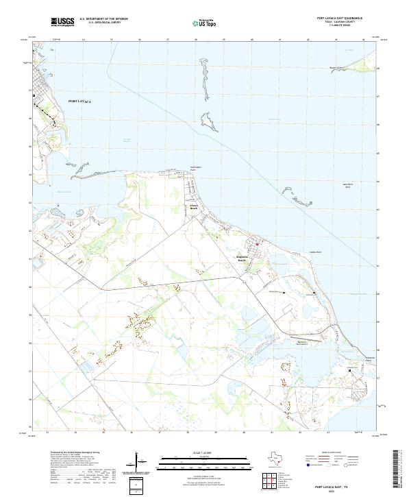
2022 Map of Port Lavaca East
USGS Topo · Published 2022About this map
Lavaca Bay and Matagorda Bay meet along this coastal stretch of Calhoun County, where the landscape is defined by the shallow waters of Chocolate Bay and the narrow inlet of Blind Bayou. The settlement pattern follows the shoreline, with Alamo Beach and Magnolia Beach serving as primary coastal anchors. A significant historical footprint remains visible through the cluster of cemeteries along the bay, including Zimmerman Cem, Old Town Cem, and Indianola Cem, which sit near Indianola Island. These sites, along with names like Old Town Lake, point to the area's long-standing maritime history and early Texas settlement. Navigation and coastal geography are marked by distinctive points such as Gallinipper Point and the submerged Sand Point Reef, while the interior is dotted with features like San Luis Springs and the local Big Duke's Place Airport.
Find a feature on this map
51 named features on this map. Tap any name to fly to it.
Don’t see what you’re looking for? This feature index may not catch every label — zoom into the map to look around manually.
Map Details
Editions of this 2022 Port Lavaca East Map
This is the sole edition of this map. No revisions or reprints were ever made.
Other maps of this area

1951 · Keller Bay
USGS Topo · 1:24,000

1952 · Port Lavaca East
USGS Topo · 1:24,000

1952 · Point Comfort
USGS Topo · 1:24,000

1952 · Olivia
USGS Topo · 1:24,000

1952 · Kamey
USGS Topo · 1:24,000

1952 · Seadrift NE
USGS Topo · 1:24,000

1952 · Seadrift
USGS Topo · 1:24,000

1952 · Port Lavaca West
USGS Topo · 1:24,000

1952 · Port O'Connor
USGS Topo · 1:24,000

1953 · Beeville
USGS Topo · 1:250,000