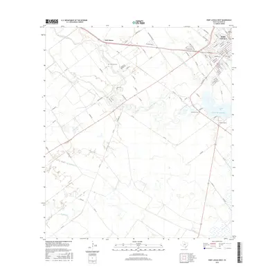
2016 Map of Port Lavaca West
USGS Topo · Published 2016About this map
Port Lavaca anchors the northeastern corner of this coastal survey, where the street grid meets the tidal waters of Chocolate Bay. The landscape is a mosaic of low-lying wetlands and drainage networks, defined by the winding paths of Chocolate Bayou and Little Chocolate Bayou as they move toward the Gulf of Mexico. This map provides significant detail for genealogical research, documenting several family and local burial sites including the Clark Family Cem, Hatch Cem, and the uniquely named Little Marys Grave. Settlement patterns outside the main town are concentrated near Clark Station, while the southern reaches transition into more open coastal prairie bisected by E Coloma Cr and W Coloma Cr. Aviation history is also represented by the presence of Tanner's Airport near the shoreline.
Find a feature on this map
91 named features on this map. Tap any name to fly to it.
Don’t see what you’re looking for? This feature index may not catch every label — zoom into the map to look around manually.
Map Details
Editions of this 2016 Port Lavaca West Map
This is the sole edition of this map. No revisions or reprints were ever made.
Other maps of this area

1952 · Port Lavaca East
USGS Topo · 1:24,000

1952 · Point Comfort
USGS Topo · 1:24,000

1952 · Kamey
USGS Topo · 1:24,000

1952 · Seadrift NE
USGS Topo · 1:24,000

1952 · Austwell
USGS Topo · 1:24,000

1952 · Seadrift
USGS Topo · 1:24,000

1952 · Port Lavaca West
USGS Topo · 1:24,000

1952 · Placedo
USGS Topo · 1:24,000

1952 · Green Lake
USGS Topo · 1:24,000

1953 · Beeville
USGS Topo · 1:250,000