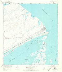
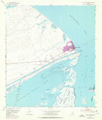
1952 Map of Port O'Connor
USGS Topo · Published 1973About this map
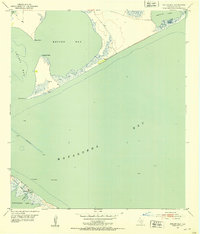
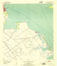
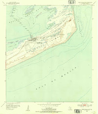
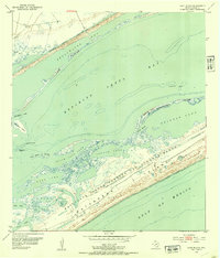
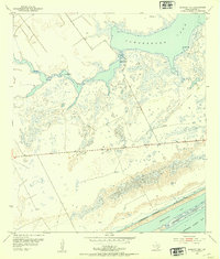
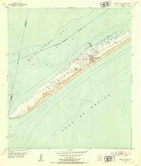
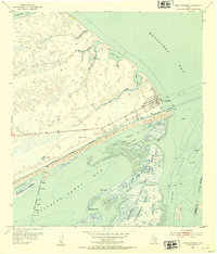
The coastal village of Port O'Connor serves as the focal point for this mid-century look at the Calhoun County shoreline. The grid of the town sits at the intersection of Matagorda Bay and the Intracoastal Waterway, where a Ferry Landing and nearby Landing Field mark the transport hubs of the era. South across the water, the landscape is defined by the military presence at the Matagorda Island Bombing and Gunnery Range, which occupies a large portion of the barrier island alongside the U. S. Coast Guard Station.
Find a feature on this map
33 named features on this map. Tap any name to fly to it.
Don’t see what you’re looking for? This feature index may not catch every label — zoom into the map to look around manually.
Map Details
Editions of this 1952 Port O'Connor Map
Other maps of this area
1951 · Keller Bay
USGS Topo · 1:24,000
1952 · Port Lavaca East
USGS Topo · 1:24,000
1952 · Pass Cavallo SW
USGS Topo · 1:24,000
1952 · Long Island
USGS Topo · 1:24,000
1952 · Seadrift NE
USGS Topo · 1:24,000
1952 · Decros Point
USGS Topo · 1:24,000
1952 · Port O'Connor
USGS Topo · 1:24,000

1953 · Beeville
USGS Topo · 1:250,000

1956 · Beeville
USGS Topo · 1:250,000

1960 · Beeville
USGS Topo · 1:250,000