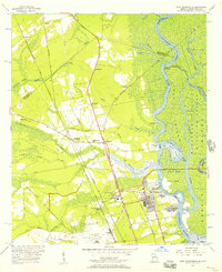
1955 Map of Port Wentworth
USGS Topo · Published 1957About this map
The Savannah River corridor north of Savannah is defined by a dense network of tidal waterways and marshlands, including Onslow Island and Argyle Island. In the mid-1950s, this area serves as a critical industrial and transportation hub, where the Seaboard Air Line and Atlantic Coast Line railroads converge near the growing town of Port Wentworth. The landscape transitions from the river's Front River and Back River channels to the inland forests where several small communities and family-named churches, such as Houston Ch and Richmond Ch, sit along the Old Augusta Road.
Find a feature on this map
59 named features on this map. Tap any name to fly to it.
Don’t see what you’re looking for? This feature index may not catch every label — zoom into the map to look around manually.
Map Details
Editions of this 1955 Port Wentworth Map
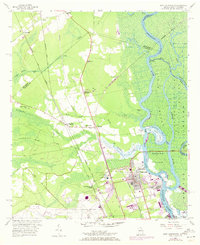
2 editions found
Other maps of this area

1919 · Egypt
USGS Topo · 1:62,500

1920 · Hardeeville
USGS Topo · 1:62,500

1920 · Meldrim
USGS Topo · 1:62,500

1939 · Egypt
USGS Topo · 1:62,500

1942 · Meldrim
USGS Topo · 1:62,500

1942 · Savannah
USGS Topo · 1:62,500

1943 · Hardeeville
USGS Topo · 1:62,500

1943 · Egypt
USGS Topo · 1:62,500

1947 · Savannah
USGS Topo · 1:250,000

1948 · Savannah
USGS Topo · 1:250,000