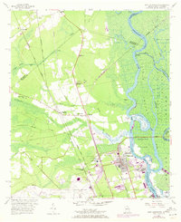
1955 Map of Port Wentworth
USGS Topo · Published 1973About this map
The industrial and riparian landscape north of Savannah is defined by the braided channels of the Savannah River, which separates Georgia from South Carolina. This survey shows the area during a period of transition, with the Savannah Filtration Plant and the growing municipal footprint of Port Wentworth contrasting against the marshy expanse of the Middle Savannah River Wildlife Refuge. Transportation corridors are central to the region's development, with the Seaboard Coast Line and Savannah and Atlanta railroads bisecting the terrain near Port Wentworth Junction.
Find a feature on this map
57 named features on this map. Tap any name to fly to it.
Don’t see what you’re looking for? This feature index may not catch every label — zoom into the map to look around manually.
Map Details
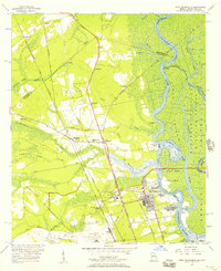
Editions of this 1955 Port Wentworth Map
2 editions found
Other maps of this area

1919 · Egypt
USGS Topo · 1:62,500

1920 · Hardeeville
USGS Topo · 1:62,500

1920 · Meldrim
USGS Topo · 1:62,500

1939 · Egypt
USGS Topo · 1:62,500

1942 · Meldrim
USGS Topo · 1:62,500

1942 · Savannah
USGS Topo · 1:62,500

1943 · Hardeeville
USGS Topo · 1:62,500

1943 · Egypt
USGS Topo · 1:62,500

1947 · Savannah
USGS Topo · 1:250,000

1948 · Savannah
USGS Topo · 1:250,000