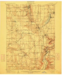
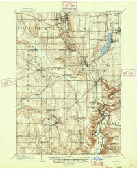
1905 Map of Portage
USGS Topo · Published 1912About this map
Warsaw and the surrounding Wyoming County uplands are documented here during an era of significant railroad expansion and lakeside development. The Genesee River cuts a deep gorge through the southeastern corner of the sheet, providing a sharp contrast to the high plateaus and creek valleys of Gainesville and Wethersfield. A notable concentration of social and religious activity is evident at the Silver Lake Assembly on the eastern shore of Silver Lake, a site that became a prominent regional gathering place during this period.
Find a feature on this map
78 named features on this map. Tap any name to fly to it.
Don’t see what you’re looking for? This feature index may not catch every label — zoom into the map to look around manually.
Map Details
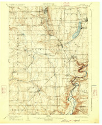
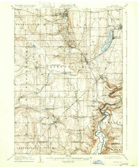
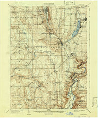
Editions of this 1905 Portage Map
6 editions found
Other maps of this area

1904 · Batavia
USGS Topo · 1:62,500

1904 · Caledonia
USGS Topo · 1:62,500

1905 · Attica
USGS Topo · 1:62,500

1905 · Portage
USGS Topo · 1:62,500

1905 · Nunda
USGS Topo · 1:62,500

1906 · Angelica
USGS Topo · 1:62,500

1916 · Canaseraga
USGS Topo · 1:62,500

1923 · Arcade
USGS Topo · 1:62,500

1924 · Franklinville
USGS Topo · 1:62,500

1925 · Arcade
USGS Topo · 1:62,500