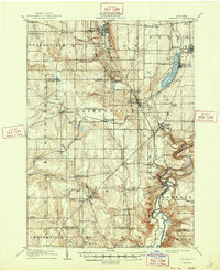
1905 Map of Portage
USGS Topo · Published 1947About this map
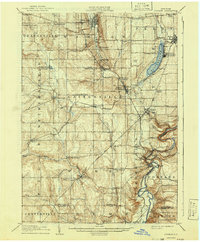
Genesee River gorges and the dramatic cascades of Lower Falls, Middle Falls, and Upper Falls define the southeastern corner of this Wyoming County landscape. This early 20th-century survey documents a region defined by its rail-and-river geography, where the B R & P RR and the Rochester and Pittsburg RR cut through a series of agricultural townships. On the eastern shore of Silver Lake, the Silver Lake Assembly grounds and Fairview mark established centers for seasonal gathering. The settlement pattern shows a high density of named hamlets and crossroads, such as Wethersfield Springs, Orangeville Center, and Sowerby Corners, reflecting a era before rural consolidation. Significant industrial and transit hubs like Silver Lake Junction and Rock Glen illustrate how the railroad transformed the valley's economy by connecting small upland villages to larger market centers like Warsaw and Perry.
Find a feature on this map
79 named features on this map. Tap any name to fly to it.
Don’t see what you’re looking for? This feature index may not catch every label — zoom into the map to look around manually.
Map Details
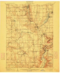
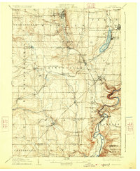
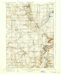
Editions of this 1905 Portage Map
6 editions found
Other maps of this area

1904 · Batavia
USGS Topo · 1:62,500

1904 · Caledonia
USGS Topo · 1:62,500

1905 · Attica
USGS Topo · 1:62,500

1905 · Portage
USGS Topo · 1:62,500

1905 · Nunda
USGS Topo · 1:62,500

1906 · Angelica
USGS Topo · 1:62,500

1916 · Canaseraga
USGS Topo · 1:62,500

1923 · Arcade
USGS Topo · 1:62,500

1924 · Franklinville
USGS Topo · 1:62,500

1925 · Arcade
USGS Topo · 1:62,500