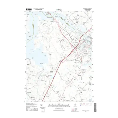
2015 Map of Portsmouth
USGS Topo · Published 2015About this map
The Piscataqua River serves as the central artery for this coastal landscape, defining the state boundary between New Hampshire and Maine. The dense urban grid of Portsmouth is flanked by significant cemeteries including Calvary Cem and Saint Marys Cem, while the waterfront near Nobles Island and Badgers Island highlights the area's maritime importance. Transport infrastructure is prominent throughout the quadrangle, from the heavy automotive corridors of the Spaulding Tpke and Lafayette Rd to the historic rail sites at Newington Station and Greenland Station.
Find a feature on this map
125 named features on this map. Tap any name to fly to it.
Don’t see what you’re looking for? This feature index may not catch every label — zoom into the map to look around manually.
Map Details
Editions of this 2015 Portsmouth Map
This is the sole edition of this map. No revisions or reprints were ever made.
Other maps of this area

1888 · Newburyport
USGS Topo · 1:62,500

1890 · Newburyport
USGS Topo · 1:62,500

1893 · Dover
USGS Topo · 1:62,500

1893 · York
USGS Topo · 1:62,500

1894 · Newburyport
USGS Topo · 1:62,500

1916 · Dover
USGS Topo · 1:62,500

1918 · Dover
USGS Topo · 1:62,500

1920 · York
USGS Topo · 1:62,500

1932 · Newburyport
USGS Topo · 1:48,000

1934 · Exeter
USGS Topo · 1:62,500