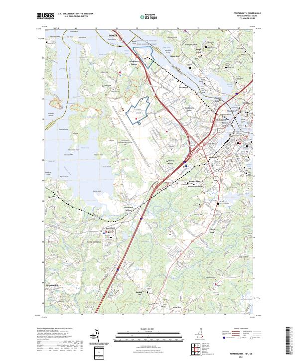
2024 Map of Portsmouth
USGS Topo · Published 2024About this map
The maritime gateway where the Piscataqua River meets the Atlantic coastline is dominated by the industrial and naval heritage of Portsmouth and Kittery. This 2024 survey captures the region's dense historical layering, from the colonial-era African Burial Ground and Point of Graves Cem to the modern logistics of Pease ANGB. The landscape is a mosaic of tidal waterways like Great Bay and Spinney Creek, interrupted by significant military infrastructure including the Newington Defense Fuel Support Point near Bloody Point.
Find a feature on this map
289 named features on this map. Tap any name to fly to it.
Don’t see what you’re looking for? This feature index may not catch every label — zoom into the map to look around manually.
Map Details
Editions of this 2024 Portsmouth Map
This is the sole edition of this map. No revisions or reprints were ever made.
Other maps of this area

1888 · Newburyport
USGS Topo · 1:62,500

1890 · Newburyport
USGS Topo · 1:62,500

1893 · Dover
USGS Topo · 1:62,500

1893 · York
USGS Topo · 1:62,500

1894 · Newburyport
USGS Topo · 1:62,500

1916 · Dover
USGS Topo · 1:62,500

1918 · Dover
USGS Topo · 1:62,500

1920 · York
USGS Topo · 1:62,500

1932 · Newburyport
USGS Topo · 1:48,000

1934 · Exeter
USGS Topo · 1:62,500