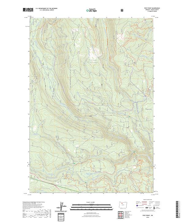
2024 Map of Post Point
USGS Topo · Published 2024About this map
White Wild and Scenic River carves through the southern reaches of this landscape, marking a significant corridor of protected hydrology within the Mount Hood National Forest. The terrain is defined by a dense network of high-elevation watercourses and named ridges, including Post Point and Dobry Point, which overlook the complex drainages of Rock Creek and Boulder Creek. This modern survey reveals a specialized infrastructure for water management and recreation, where historical land use is signaled by features like the Clear-Creek Ditch and Lost Boulder Ditch.
Find a feature on this map
59 named features on this map. Tap any name to fly to it.
Don’t see what you’re looking for? This feature index may not catch every label — zoom into the map to look around manually.
Map Details
Editions of this 2024 Post Point Map
This is the sole edition of this map. No revisions or reprints were ever made.
Other maps of this area

1924 · Mount Hood
USGS Topo · 1:125,000

1927 · Mount Hood
USGS Topo · 1:125,000

1930 · Dufur
USGS Topo · 1:125,000

1934 · Dufur
USGS Topo · 1:125,000

1953 · The Dalles
USGS Topo · 1:250,000

1956 · The Dalles
USGS Topo · 1:250,000

1956 · Mt. Wilson
USGS Topo · 1:62,500

1957 · The Dalles
USGS Topo · 1:250,000

1962 · Rock Creek Reservoir
USGS Topo · 1:24,000
1962 · Foreman Point
USGS Topo · 1:24,000