
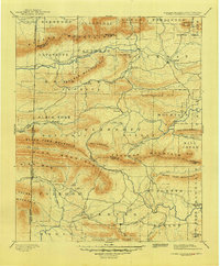
1899 Map of Poteau Mountain
USGS Topo · Published 1899About this map
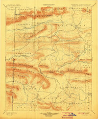
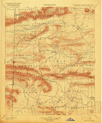
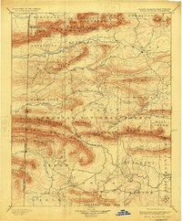
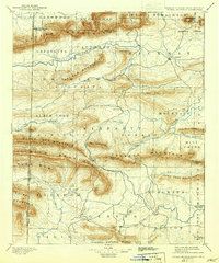
Waldron and the surrounding Arkansas river valleys were documented in the late 19th century as a complex landscape of ridges and developing settlements. The Boundary Line between Arkansas and Indian Territory (specifically the Choctaw Nation) bisects the western portion of the sheet, reflecting the political geography prior to Oklahoma statehood. Significant drainages like the Poteau River and the Ouachita River carve through the prominent elevations of Poteau Mountain and Rich Mountain. Local community centers such as Dallas, Blansett, and Cauthron serve as anchor points in a region dominated by these parallel ridges. The map also records early post offices and hamlets, including Cherry Hill (Egger P.O.), offering genealogists a primary source for locating family homesteads before modern road networks transformed the Ouachita foothills.
Find a feature on this map
73 named features on this map. Tap any name to fly to it.
Don’t see what you’re looking for? This feature index may not catch every label — zoom into the map to look around manually.
Map Details
Editions of this 1899 Poteau Mountain Map
6 editions found
Other maps of this area

1879 · Poteau Mountain
USGS Topo · 1:62,500

1887 · Poteau Mountain #1
USGS Topo · 1:62,500

1887 · Mount Ida #2
USGS Topo · 1:62,500

1887 · Magazine Mountain #3
USGS Topo · 1:62,500

1887 · Magazine Mountain
USGS Topo · 1:62,500

1887 · Poteau Mountain #2
USGS Topo · 1:62,500

1887 · Greenwood
USGS Topo · 1:62,500

1890 · Magazine Mountain
USGS Topo · 1:125,000

1890 · Mount Ida
USGS Topo · 1:125,000

1890 · Fort Smith
USGS Topo · 1:125,000