
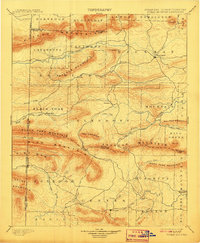
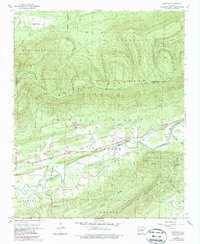
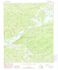
1899 Map of Poteau Mountain
USGS Topo · Published 1899This historical map portrays the area of Poteau Mountain in 1899, primarily covering Scott County as well as portions of Oklahoma. Featuring a scale of 1:125000, this map provides a highly detailed snapshot of the terrain, roads, buildings, counties, and historical landmarks in the Poteau Mountain region at the time. Published in 1899, it is one of 6 known editions of this map due to revisions or reprints.
Find a feature on this map
73 named features on this map. Tap any name to fly to it.
Don’t see what you’re looking for? This feature index may not catch every label — zoom into the map to look around manually.
Map Details
Editions of this 1899 Poteau Mountain Map
6 editions found

Historical Maps of Apex Through Time
20 maps found

1879 Poteau Mountain
Scott County, AR

1887 Mount Ida #2
Scott County, AR

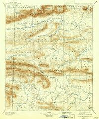
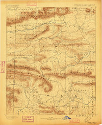
1887 Poteau Mountain #1
Scott County, AR

1887 Poteau Mountain #2
Scott County, AR
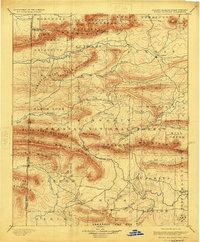
1890 Poteau Mountain
Scott County, AR
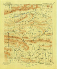
1899 Poteau Mountain
Scott County, AR
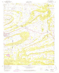
1948 Abbott
Scott County, AR
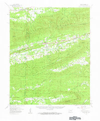
1958 Bates
Scott County, AR
1958 Bates
Scott County, AR
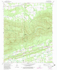
1958 Cauthron
Scott County, AR
1958 Horseshoe Mountain
Scott County, AR
1960 Parks
Scott County, AR
1983 Hon
Scott County, AR
1983 Peanut Mountain
Scott County, AR
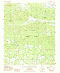
1985 Bee Mountain
Scott County, AR
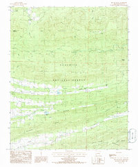
1985 Buck Knob
Scott County, AR
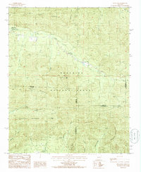
1985 Freedom Mountain
Scott County, AR
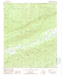
1985 Harvey
Scott County, AR
1985 Parks
Scott County, AR
1987 Abbott
Scott County, AR