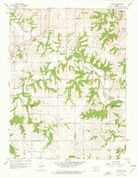
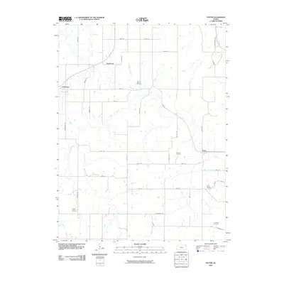
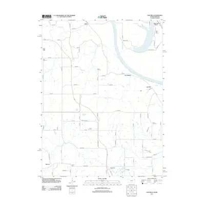
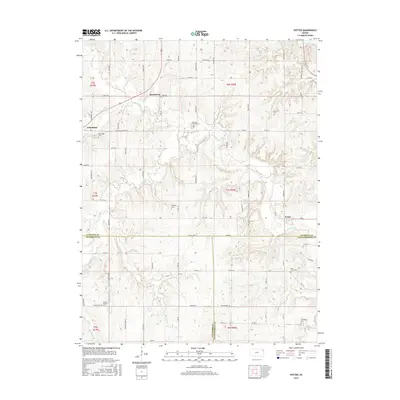
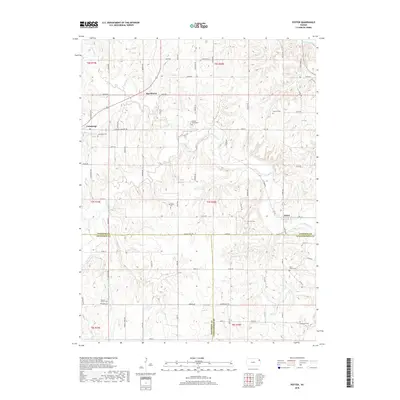
1960 Map of Potter
USGS Topo · Published 1976About this map
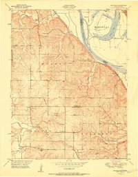
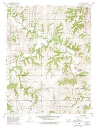
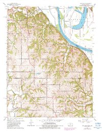
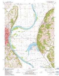
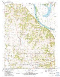
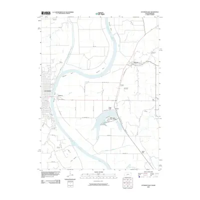
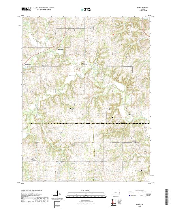
Stranger Creek and its many tributaries, including Crooked Creek and Mooney Creek, carve a complex drainage pattern across this rural landscape at the junction of Atchison, Jefferson, and Leavenworth counties. The Atchison Topeka and Santa Fe railroad serves as the primary industrial corridor, connecting the small settlements of Potter, Hawthorne, and Cummings. This network of rail and road supported a robust system of rural education and worship, evidenced by numerous numbered schoolhouses and community churches.
Find a feature on this map
34 named features on this map. Tap any name to fly to it.
Don’t see what you’re looking for? This feature index may not catch every label — zoom into the map to look around manually.
Map Details
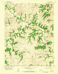
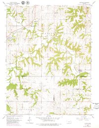
Editions of this 1960 Potter Map
4 editions found
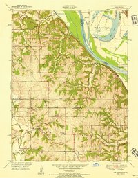
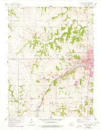
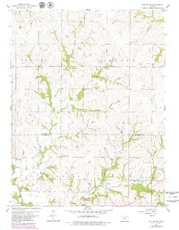
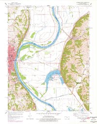
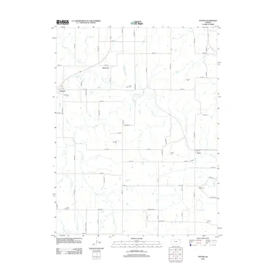
Historical Maps of Mount Pleasant Township Through Time
34 maps found
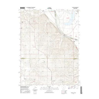
1948 Oak Mills
Atchison County, KS
1951 Oak Mills
Atchison County, KS
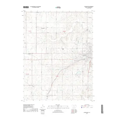
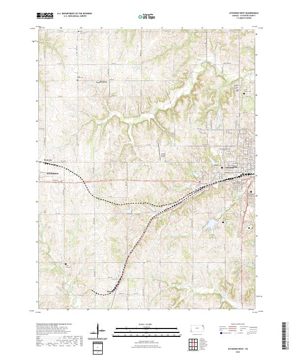
1959 Atchison West
Atchison County, KS
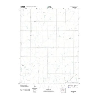
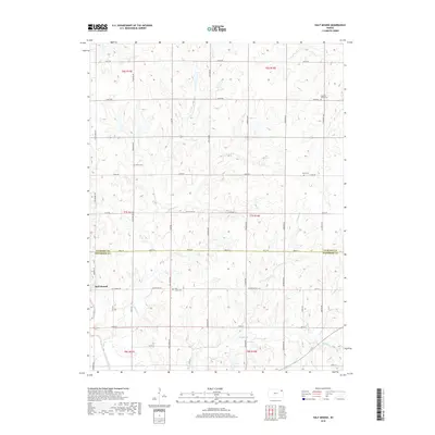
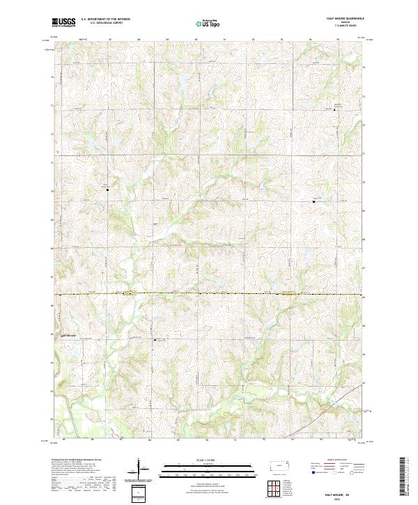
1959 Half Mound
Atchison County, KS
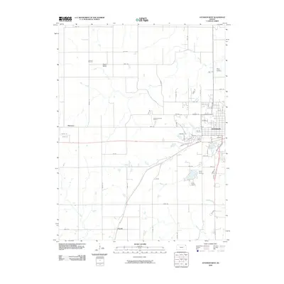
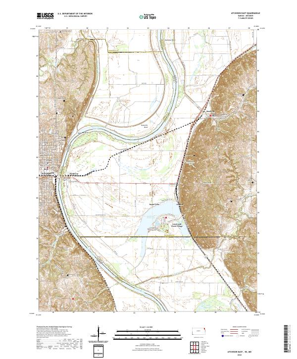
1960 Atchison East
Atchison County, KS
1960 Potter
Atchison County, KS
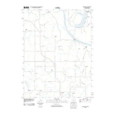
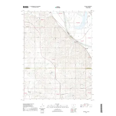
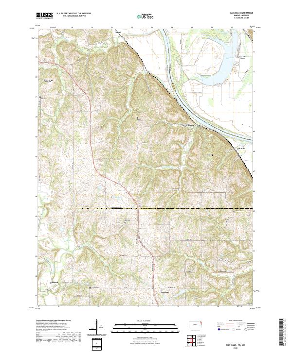
1961 Oak Mills
Atchison County, KS
1984 Atchison East
Atchison County, KS
1984 Oak Mills
Atchison County, KS
2009 Atchison East
Atchison County, KS
2009 Atchison West
Atchison County, KS
2009 Half Mound
Atchison County, KS
2009 Oak Mills
Atchison County, KS
2009 Potter
Atchison County, KS
2012 Atchison East
Atchison County, KS
2012 Atchison West
Atchison County, KS
2012 Half Mound
Atchison County, KS
2012 Oak Mills
Atchison County, KS
2012 Potter
Atchison County, KS
2015 Half Mound
Atchison County, KS
2015 Oak Mills
Atchison County, KS
2015 Potter
Atchison County, KS
2016 Atchison East
Atchison County, KS
2016 Atchison West
Atchison County, KS
2018 Atchison East
Atchison County, KS
2018 Atchison West
Atchison County, KS
2018 Half Mound
Atchison County, KS
2018 Oak Mills
Atchison County, KS
2018 Potter
Atchison County, KS
2022 Atchison East
Atchison County, KS
2022 Atchison West
Atchison County, KS
2022 Half Mound
Atchison County, KS
2022 Oak Mills
Atchison County, KS
2022 Potter
Atchison County, KS
Featured Locations
- Center Township, KS
- Mount Pleasant Township, KS
- Hawthorne, Mount Pleasant Township
- Potter, Mount Pleasant Township
- Cummings, Center Township