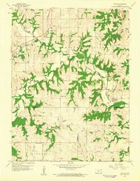
1960 Map of Potter
USGS Topo · Published 1961About this map
The Atchison Topeka and Santa Fe railroad corridor anchors the northern half of this rural Kansas landscape, threading through the settlements of Cummings and Hawthorne before descending toward the Missouri River valley. The terrain is defined by a dense network of wooded drainage systems, including Stranger Creek, Camp Creek, and Mooney Creek, which create deep incisions across the high ground of Mount Pleasant and Norton.
Find a feature on this map
34 named features on this map. Tap any name to fly to it.
Don’t see what you’re looking for? This feature index may not catch every label — zoom into the map to look around manually.
Map Details
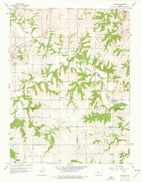
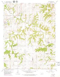
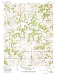
Editions of this 1960 Potter Map
4 editions found
Other maps of this area

1885 · Atchison
USGS Topo · 1:125,000

1886 · Oskaloosa
USGS Topo · 1:125,000

1888 · Oskaloosa
USGS Topo · 1:125,000

1888 · Atchison
USGS Topo · 1:125,000

1893 · Atchison
USGS Topo · 1:125,000

1894 · Oskaloosa
USGS Topo · 1:125,000

1926 · Atchison
USGS Topo · 1:62,500

1948 · Oak Mills
USGS Topo · 1:24,000

1950 · Kansas City
USGS Topo · 1:250,000

1950 · Easton
USGS Topo · 1:24,000