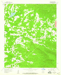
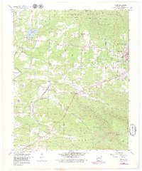
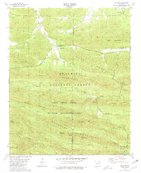
1958 Map of Potter
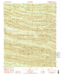
USGS Topo · Published 1959This historical map portrays the area of Potter in 1958, primarily covering Polk County. Featuring a scale of 1:24000, this map provides a highly detailed snapshot of the terrain, roads, buildings, counties, and historical landmarks in the Potter region at the time. Published in 1959, it is one of 3 known editions of this map due to revisions or reprints.
Find a feature on this map
45 named features on this map. Tap any name to fly to it.
Don’t see what you’re looking for? This feature index may not catch every label — zoom into the map to look around manually.
Map Details
Editions of this 1958 Potter Map
3 editions found
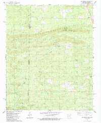
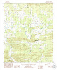
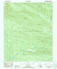
Historical Maps of Shady Grove Through Time
11 maps found
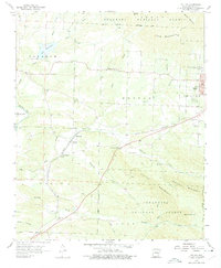
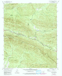
1958 Mountain Fork
Polk County, AR
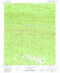
1958 Potter
Polk County, AR
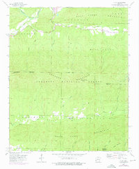
1958 Potter
Polk County, AR
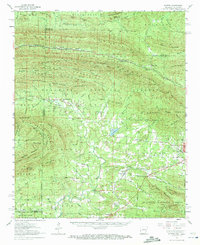
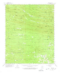
1958 Rich Mountain
Polk County, AR
1958 Y City
Polk County, AR
1959 Umpire
Polk County, AR
1980 Big Fork
Polk County, AR
1985 Bog Springs
Polk County, AR
1985 Pine Ridge
Polk County, AR
1986 Eagle Mountain
Polk County, AR
1986 Nichols Mountain
Polk County, AR