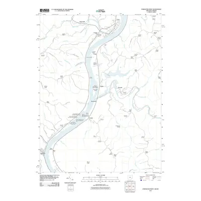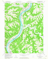
1960 Map of Powhatan Point
USGS Topo · Published 1965About this map
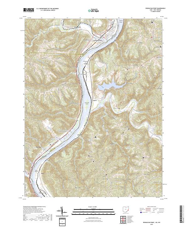
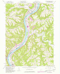
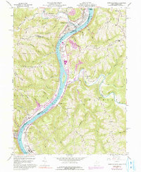
The Ohio River corridor serves as the primary artery for industry and transport between Powhatan Point and Clarington at the start of the 1960s. This survey captures a transitional landscape where rugged Ohio ridges like German Ridge and York Ridge drop steeply toward the riverside industrial sites at Cresap and Natrium. The Baltimore and Ohio railroad tracks hug the riverbank, connecting coal mines and chemical substations to the broader regional network. In the interior, the topography is defined by narrow runs and hollows, such as Stillhouse Run and Henderson Hollow, where small rural communities gathered at St Johns Ch and Grace Chapel. The presence of Lock No 14 and various ferry landings underscores the river's enduring role as a working waterway before the modernization of the valley's navigation systems.
Find a feature on this map
79 named features on this map. Tap any name to fly to it.
Don’t see what you’re looking for? This feature index may not catch every label — zoom into the map to look around manually.
Map Details
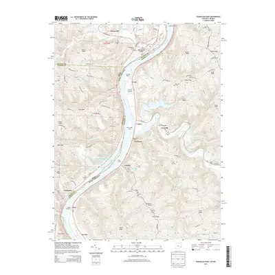
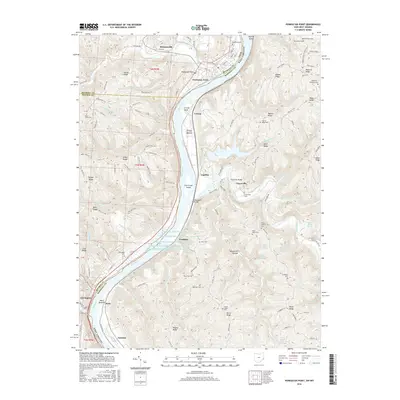
Editions of this 1960 Powhatan Point Map
5 editions found
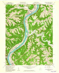
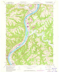
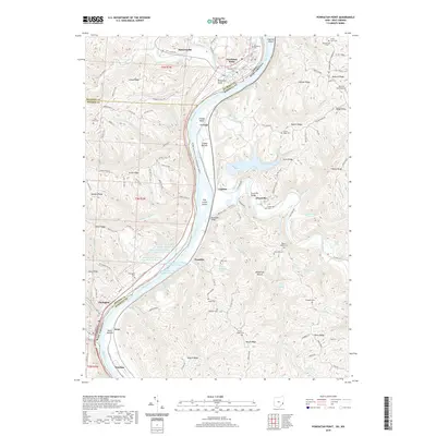
Historical Maps of Powhatan Point Through Time
6 maps found