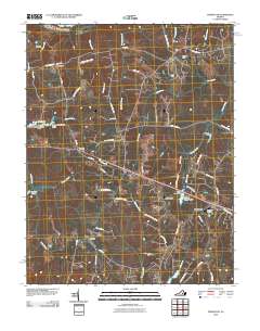
2010 Map of Powhatan
USGS Topo · Published 2010About this map
The James River forms the northern boundary of this central Virginia landscape, where the town of Powhatan serves as a focal point for a network of rural routes and historic family-named settlements. The map illustrates a transition from the river lowlands to the higher ground occupied by Jefferson, Provost, and Macon. Local infrastructure is defined by several mid-century water management features, including the John L Lewis Dam and Mill Quarter Dam, which have shaped the drainage patterns of Fighting Creek and Neds Creek.
Find a feature on this map
66 named features on this map. Tap any name to fly to it.
Don’t see what you’re looking for? This feature index may not catch every label — zoom into the map to look around manually.
Map Details
Editions of this 2010 Powhatan Map
This is the sole edition of this map. No revisions or reprints were ever made.
Other maps of this area

1890 · Goochland
USGS Topo · 1:125,000

1891 · Palmyra
USGS Topo · 1:125,000

1891 · Farmville
USGS Topo · 1:125,000

1892 · Goochland
USGS Topo · 1:125,000

1893 · Farmville
USGS Topo · 1:125,000

1895 · Palmyra
USGS Topo · 1:125,000

1897 · Amelia
USGS Topo · 1:125,000

1897 · Palmyra
USGS Topo · 1:125,000

1943 · Goochland
USGS Topo · 1:31,680

1943 · Fine Creek Mills
USGS Topo · 1:31,680