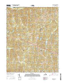
2016 Map of Powhatan
USGS Topo · Published 2016About this map
Powhatan sits as the central hub of this Virginia landscape, where the traditional rural layout of Powhatan County meets modern infrastructure. To the north, the James River forms the natural boundary of the quadrangle, with settlements like Provost and Jefferson historically connected to the river corridor. The map reveals a high density of named water features, including Fighting Creek and Fine Creek, alongside man-made landmarks such as Saunders Field and the Plainview Airport. Local history is anchored by sites like Belmead Cemetery and Petersville Cemetery, while residential growth is visible in the network of manor roads and trails surrounding the county seat. This 2016 survey documents the enduring character of a Piedmont community, balancing its agricultural roots near Macon and Worshams with the expansion of suburban-style developments and managed water bodies like Powhatan Lakes and Randolph Lake.
Find a feature on this map
109 named features on this map. Tap any name to fly to it.
Don’t see what you’re looking for? This feature index may not catch every label — zoom into the map to look around manually.
Map Details
Editions of this 2016 Powhatan Map
This is the sole edition of this map. No revisions or reprints were ever made.
Other maps of this area

1890 · Goochland
USGS Topo · 1:125,000

1891 · Palmyra
USGS Topo · 1:125,000

1891 · Farmville
USGS Topo · 1:125,000

1892 · Goochland
USGS Topo · 1:125,000

1893 · Farmville
USGS Topo · 1:125,000

1895 · Palmyra
USGS Topo · 1:125,000

1897 · Amelia
USGS Topo · 1:125,000

1897 · Palmyra
USGS Topo · 1:125,000

1943 · Goochland
USGS Topo · 1:31,680

1943 · Fine Creek Mills
USGS Topo · 1:31,680