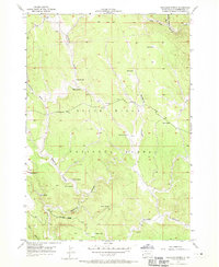
1956 Map of Preacher Spring
USGS Topo · Published 1970About this map
The Black Hills National Forest in Pennington County is defined by a complex network of draws and springs on this mid-century survey. Named for its critical water sources, the landscape features numerous isolated points like Preacher Spring, Briggs Spring, and White Spring, which served as vital markers in the timbered highlands. The Howell Ranch stands as a primary point of human habitation, situated near the confluence of several drainages including Redbird Draw and Antelope Draw.
Find a feature on this map
27 named features on this map. Tap any name to fly to it.
Don’t see what you’re looking for? This feature index may not catch every label — zoom into the map to look around manually.
Map Details
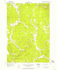
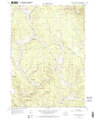
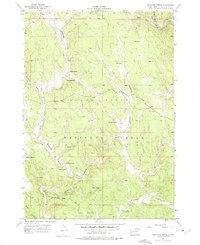
Editions of this 1956 Preacher Spring Map
4 editions found
Other maps of this area

1894 · Deadwood
USGS Topo · 1:125,000

1896 · Harney Peak
USGS Topo · 1:125,000

1898 · Sundance
USGS Topo · 1:125,000

1899 · Newcastle
USGS Topo · 1:125,000

1901 · Harney Peak
USGS Topo · 1:125,000

1901 · Deadwood
USGS Topo · 1:125,000

1901 · Newcastle
USGS Topo · 1:125,000

1902 · Sundance
USGS Topo · 1:125,000

1916 · Deadwood
USGS Topo · 1:125,000

1951 · Fanny Peak
USGS Topo · 1:24,000