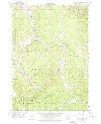
1956 Map of Preacher Spring
USGS Topo · Published 1975About this map
Black Hills National Forest defines the topography of this mid-century survey, revealing a landscape of steep draws and vital water sources within the western South Dakota high country. The drainage network is particularly detailed, tracing the South Fork Castle Creek and numerous deep-cut ravines like Redbird Draw and Antelope Draw. This 1956 field check was produced in cooperation with the Atomic Energy Commission, reflecting the era's strategic interest in the geology of the Black Hills.
Find a feature on this map
24 named features on this map. Tap any name to fly to it.
Don’t see what you’re looking for? This feature index may not catch every label — zoom into the map to look around manually.
Map Details
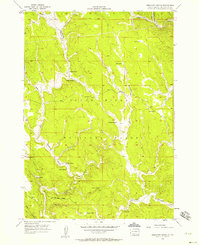
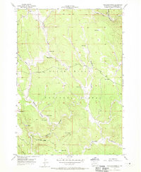
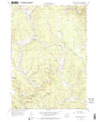
Editions of this 1956 Preacher Spring Map
4 editions found
Other maps of this area

1894 · Deadwood
USGS Topo · 1:125,000

1896 · Harney Peak
USGS Topo · 1:125,000

1898 · Sundance
USGS Topo · 1:125,000

1899 · Newcastle
USGS Topo · 1:125,000

1901 · Harney Peak
USGS Topo · 1:125,000

1901 · Deadwood
USGS Topo · 1:125,000

1901 · Newcastle
USGS Topo · 1:125,000

1902 · Sundance
USGS Topo · 1:125,000

1916 · Deadwood
USGS Topo · 1:125,000

1951 · Fanny Peak
USGS Topo · 1:24,000