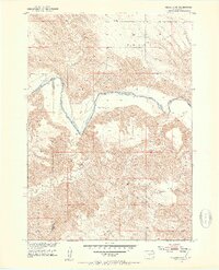
1951 Map of Presho 4 NW
USGS Topo · Published 1953About this map
The White River carves a significant path through this South Dakota landscape, marking the natural boundary between Lyman and Tripp counties. Surveyed in the early 1950s as part of the Missouri River Basin development program, the map documents a rural ranching environment where the high plateaus of the Pratt, Sioux, and Pahapesto regions drop sharply into the river valley. Sparse human activity is concentrated at family operations like Krutson Ranch and Iverson Ranch, while the Pleasant Hill Sch serves as a remote community landmark in the northeast. The intricate contour lines reveal the deep erosion patterns of the Riverside (Badnation) area, where drainage from Medicine Creek, Oak Creek, and Little Dog Creek has sculpted the terrain. This survey provides a precise look at the transition from high prairie to river bottomlands before modern infrastructure changed the character of these rural townships.
Find a feature on this map
14 named features on this map. Tap any name to fly to it.
Don’t see what you’re looking for? This feature index may not catch every label — zoom into the map to look around manually.
Map Details
Editions of this 1951 Presho 4 NW Map
4 editions found
Other maps of this area

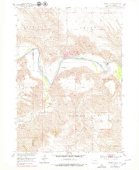
1951 · Badnation
USGS Topo · 1:24,000

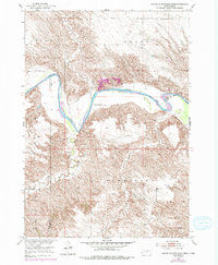
1951 · Presho 4 NE
USGS Topo · 1:24,000

1951 · Presho 4 NW
USGS Topo · 1:24,000

1955 · Martin
USGS Topo · 1:250,000

1958 · Martin
USGS Topo · 1:250,000

1972 · Vivian SE
USGS Topo · 1:24,000
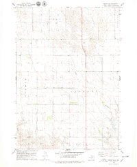
1978 · Presho SE
USGS Topo · 1:24,000

1978 · Presho SW
USGS Topo · 1:24,000

1982 · Presho 4 SE
USGS Topo · 1:25,000

1982 · Two Nation Creek
USGS Topo · 1:25,000