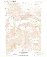
1951 Map of Presho 4 NW
USGS Topo · Published 1979About this map
The White River carves a deep, winding path through the prairie landscape along the shared borders of Lyman, Mellette, and Tripp counties. This mid-century survey, updated in the late 1970s, captures the cattle-ranching character of the region, featuring prominent local landmarks such as Krutson Ranch and Iverson Ranch. The terrain is defined by the expansive plateaus of Sioux Pratt Pahapesto and the breaks of Riverside, illustrating the complex drainage systems that feed into the main river channel. Smaller tributaries like Sediano Creek, Oak Creek, and Little Dog Creek reveal the natural dissection of the plains. Human presence is sparse, marked primarily by the Pleasant Hill Sch in the northeast and small industrial Gravel Pits near the river, reflecting a rural economy tied directly to the land and its primary water source.
Find a feature on this map
12 named features on this map. Tap any name to fly to it.
Don’t see what you’re looking for? This feature index may not catch every label — zoom into the map to look around manually.
Map Details
Editions of this 1951 Presho 4 NW Map
4 editions found
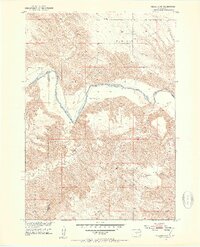
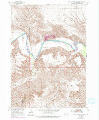
Other maps of this area

1951 · Badnation
USGS Topo · 1:24,000

1951 · Presho 4 NE
USGS Topo · 1:24,000

1951 · Presho 4 NW
USGS Topo · 1:24,000

1955 · Martin
USGS Topo · 1:250,000

1958 · Martin
USGS Topo · 1:250,000

1972 · Vivian SE
USGS Topo · 1:24,000
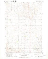
1978 · Presho SE
USGS Topo · 1:24,000

1978 · Presho SW
USGS Topo · 1:24,000

1982 · Presho 4 SE
USGS Topo · 1:25,000

1982 · Two Nation Creek
USGS Topo · 1:25,000