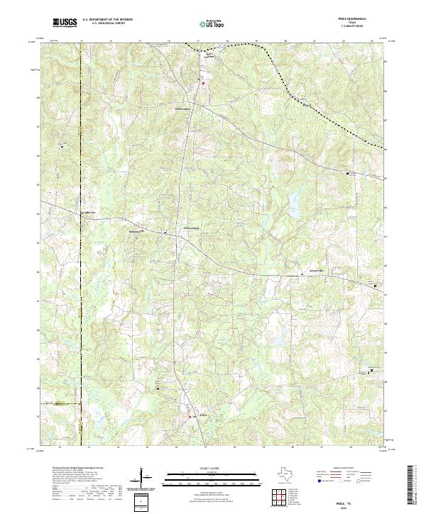
2022 Map of Price
USGS Topo · Published 2022About this map
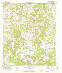
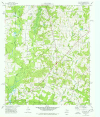
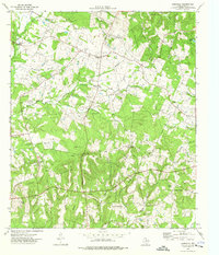
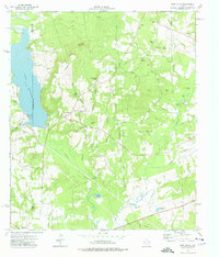
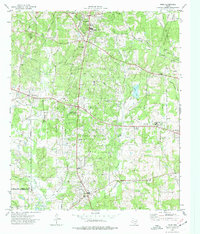
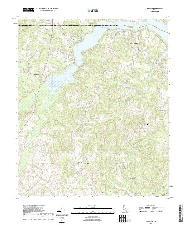
The boundary lines of Smith County and Cherokee County converge in this Rusk County landscape, which is densely patterned with small settlements and family cemeteries. The area between New London and Old London is characterized by a complex network of local roads such as W Humble Rd and Ball Park Rd, reflecting the region's historical development. The map details a cluster of communities including Turnertown, Joinerville, and Selman City, which are historically tied to the East Texas oil fields.
Find a feature on this map
117 named features on this map. Tap any name to fly to it.
Don’t see what you’re looking for? This feature index may not catch every label — zoom into the map to look around manually.
Map Details
Editions of this 2022 Price Map
This is the sole edition of this map. No revisions or reprints were ever made.
Historical Maps of Price Through Time
23 maps found
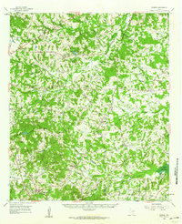
1960 Minden
Rusk County, TX
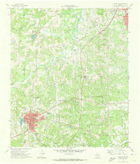
1971 Kilgore SE
Rusk County, TX
1971 Kilgore SW
Rusk County, TX
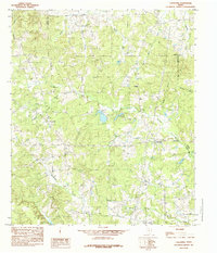
1973 Berryhill Creek
Rusk County, TX
1973 Gum Springs
Rusk County, TX
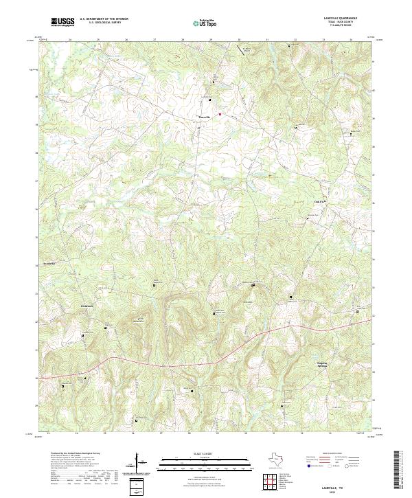
1973 Laneville
Rusk County, TX
1973 New Salem
Rusk County, TX
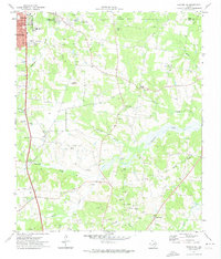
1973 Price
Rusk County, TX
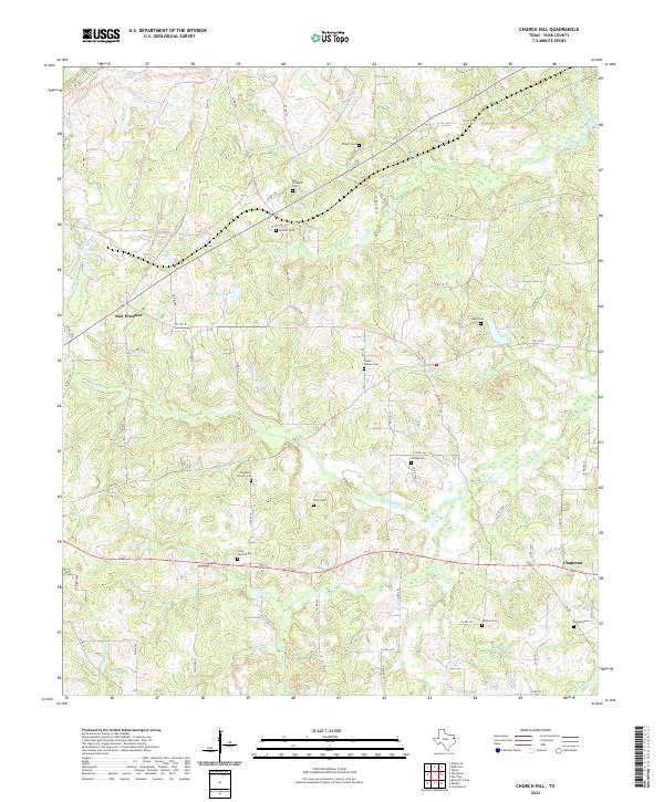
1983 Church Hill
Rusk County, TX
1983 Elderville
Rusk County, TX
1983 Minden
Rusk County, TX
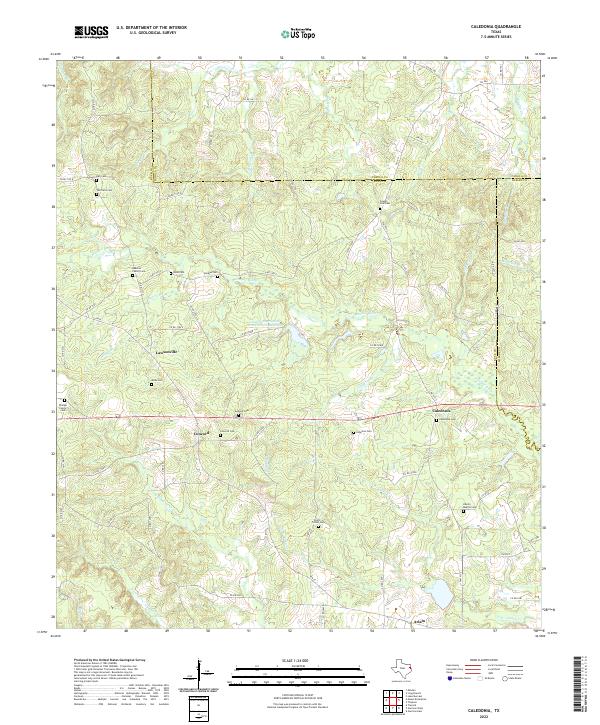
1984 Caledonia
Rusk County, TX
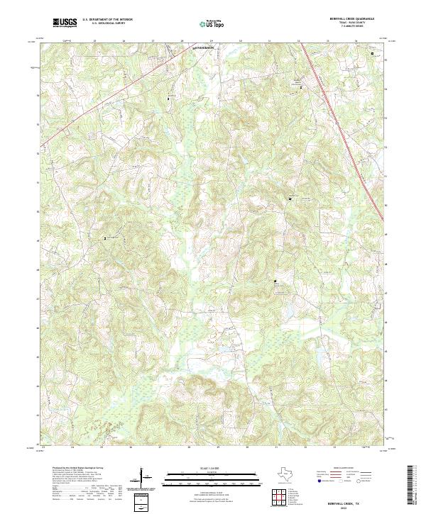
2022 Berryhill Creek
Rusk County, TX
2022 Caledonia
Rusk County, TX
2022 Church Hill
Rusk County, TX
2022 Elderville
Rusk County, TX
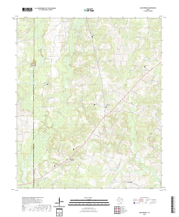
2022 Gum Springs
Rusk County, TX
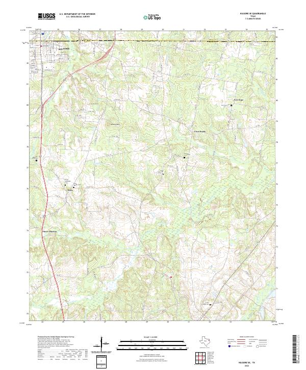
2022 Kilgore SE
Rusk County, TX
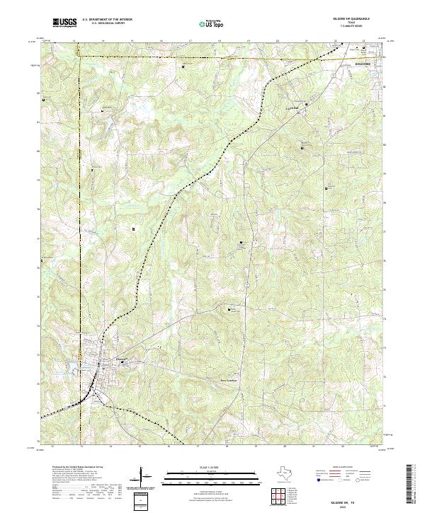
2022 Kilgore SW
Rusk County, TX
2022 Laneville
Rusk County, TX
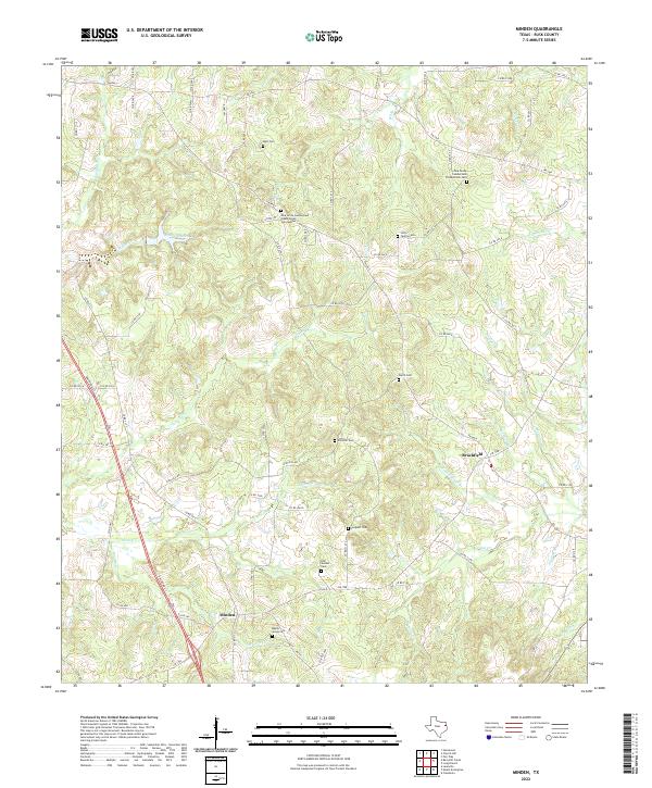
2022 Minden
Rusk County, TX
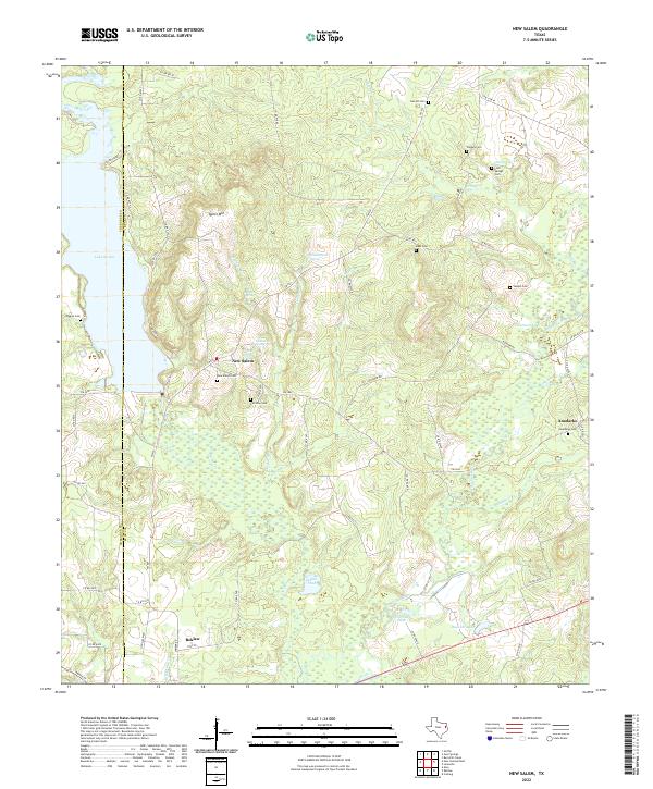
2022 New Salem
Rusk County, TX
2022 Price
Rusk County, TX