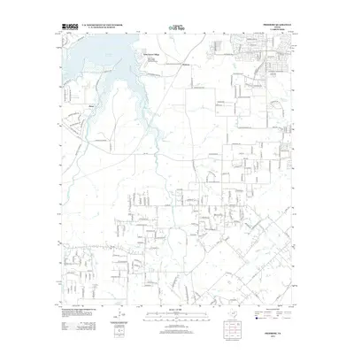
2012 Map of Primrose
USGS Topo · Published 2012About this map
Saint Francis Village sits prominently on the eastern shore of Benbrook Lake in this 2012 survey of the southern Fort Worth periphery. The landscape transition is evident where the structured retirement community and its dedicated Saint Francis Village Water Treatment Facility meet the more dispersed residential developments of Primrose and Plover. The geography is defined by a dense network of suburban roads and rural routes, such as FM-1187, that navigate the drainages of Mustang Creek and Rock Creek. This era of the Tarrant County landscape shows a mix of established lakeside settlements and modern residential expansion. The map detail traces numerous local landmarks, from the recreational access of Rocky Creek Park Road to the winding suburban stretches of McPherson Boulevard and Summer Creek Drive.
Find a feature on this map
171 named features on this map. Tap any name to fly to it.
Don’t see what you’re looking for? This feature index may not catch every label — zoom into the map to look around manually.
Map Details
Editions of this 2012 Primrose Map
This is the sole edition of this map. No revisions or reprints were ever made.
Other maps of this area

1889 · Granbury
USGS Topo · 1:125,000

1891 · Weatherford
USGS Topo · 1:125,000

1891 · Cleburne
USGS Topo · 1:125,000

1893 · Weatherford
USGS Topo · 1:125,000

1894 · Cleburne
USGS Topo · 1:125,000

1894 · Fort Worth
USGS Topo · 1:125,000

1928 · Godley
USGS Topo · 1:62,500

1954 · Dallas
USGS Topo · 1:250,000

1955 · Burleson
USGS Topo · 1:24,000

1955 · Aledo
USGS Topo · 1:24,000