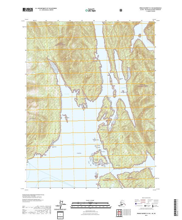
2021 Map of Prince Rupert D-3 SE
USGS Topo · Published 2021About this map
Tongass National Forest dominates this coastal landscape where the Alaskan panhandle meets the Dixon Entrance. The area is defined by a complex network of fjords and islands, centered around the deep waters of Nakat Bay and Harry Bay. Historical maritime navigation points are well-documented here, with prominent coastal features such as Katakwa Point, Point Mansfield, and Ledge Point guiding the way into protected anchorages like Nakat Harbor.
Find a feature on this map
37 named features on this map. Tap any name to fly to it.
Don’t see what you’re looking for? This feature index may not catch every label — zoom into the map to look around manually.
Map Details
Editions of this 2021 Prince Rupert D-3 SE Map
This is the sole edition of this map. No revisions or reprints were ever made.
Other maps of this area

1951 · Prince Rupert
USGS Topo · 1:250,000

1955 · Prince Rupert D-3
USGS Topo · 1:63,360

1955 · Prince Rupert D-2
USGS Topo · 1:63,360
1958 · Prince Rupert C-2 and C-3
USGS Topo · 1:63,360

1959 · Prince Rupert
USGS Topo · 1:250,000

1964 · Prince Rupert
USGS Topo · 1:250,000
2018 · Prince Rupert C-2 NW
USGS Topo · 1:25,000
2018 · Prince Rupert D-2 NW
USGS Topo · 1:25,000
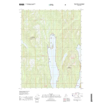
2018 · Prince Rupert D-3 NE
USGS Topo · 1:25,000
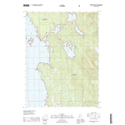
2018 · Prince Rupert D-3 NW
USGS Topo · 1:25,000