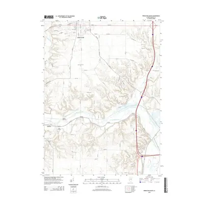
2015 Map of Princeton South
USGS Topo · Published 2015About this map
The city of Princeton serves as the focal point for this Bureau County landscape, which transitions from organized town grids to the winding drainage basins of the Illinois river valley. In the southern portion of the city, Oakland Cem and Jenkins-Green Cem provide key reference points for local history and genealogical research. The terrain is defined by the significant meandering of Big Bureau Creek, which cuts a wide path through the central portion of the map, creating unique landforms like Owls Head and the low-lying Plow Hollow. Near the village of Tiskilwa, the creek’s influence on the local topography is clear, with its broad floodplain and several associated water bodies including Lake Arispie. This document illustrates the intersection of modern road infrastructure with the natural riparian system, tracing the creek's varied channels and the rural road networks that link these central Illinois communities.
Find a feature on this map
82 named features on this map. Tap any name to fly to it.
Don’t see what you’re looking for? This feature index may not catch every label — zoom into the map to look around manually.
Map Details
Editions of this 2015 Princeton South Map
This is the sole edition of this map. No revisions or reprints were ever made.
Other maps of this area

1893 · Lacon
USGS Topo · 1:62,500

1893 · Hennepin
USGS Topo · 1:62,500

1909 · Hennepin
USGS Topo · 1:62,500

1911 · Hennepin
USGS Topo · 1:62,500

1921 · Buda
USGS Topo · 1:62,500

1923 · Buda
USGS Topo · 1:62,500

1933 · Lacon
USGS Topo · 1:62,500

1933 · Camp Grove
USGS Topo · 1:48,000

1937 · Lacon
USGS Topo · 1:62,500

1945 · Bradford
USGS Topo · 1:62,500