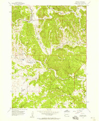
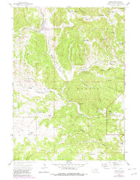
1956 Map of Pringle
USGS Topo · Published 1958About this map
Pringle sits at the northern edge of this mid-century survey, serving as a hub for the ranching and mining operations scattered throughout the southern Black Hills. The landscape is defined by the Chicago Burlington and Quincy railroad line, which follows the corridor of Beaver Valley past a series of industrial sites, including a Lime Kiln and the Myrtle Ann Mine. This area represents a critical intersection between resource extraction and early federal land preservation, where the boundaries of the Black Hills National Forest meet the western edge of Wind Cave National Park.
Find a feature on this map
54 named features on this map. Tap any name to fly to it.
Don’t see what you’re looking for? This feature index may not catch every label — zoom into the map to look around manually.
Map Details
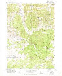
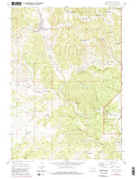
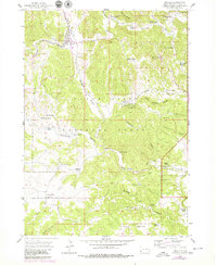
Editions of this 1956 Pringle Map
5 editions found
Other maps of this area

1894 · Hermosa
USGS Topo · 1:125,000

1896 · Oelrichs
USGS Topo · 1:125,000

1896 · Harney Peak
USGS Topo · 1:125,000

1900 · Oelrichs
USGS Topo · 1:125,000

1901 · Hermosa
USGS Topo · 1:125,000

1901 · Harney Peak
USGS Topo · 1:125,000

1902 · Edgemont
USGS Topo · 1:125,000

1950 · Hot Springs
USGS Topo · 1:24,000

1950 · Minnekahta
USGS Topo · 1:24,000

1951 · Minnekahta NE
USGS Topo · 1:24,000