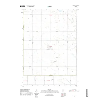
2019 Map of Prinsburg
USGS Topo · Published 2019About this map
Prinsburg serves as the central hub of this agricultural landscape in west-central Minnesota, situated at the junction of 195th Ave SW and Pleasant Ave. The surrounding countryside is defined by a grid of rural sections, where local history is anchored by sites like Holland Cem and the Old Swedish Lutheran Cem. These sites, along with the numerous county roads and avenues such as 135th Ave SW and 225th Ave SW, reflect the deep-rooted immigrant heritage and farmstead development that shaped the region. The map captures a topography marked by seasonal wetlands and managed watercourses, including Chetomba Cr and the engineered County Ditch Number Seventeen A. The southern border follows the Kandiyohi Co Renville Co line, illustrating the administrative boundaries that intersect this productive prairie terrain.
Find a feature on this map
22 named features on this map. Tap any name to fly to it.
Don’t see what you’re looking for? This feature index may not catch every label — zoom into the map to look around manually.
Map Details
Editions of this 2019 Prinsburg Map
This is the sole edition of this map. No revisions or reprints were ever made.
Other maps of this area

1953 · New Ulm
USGS Topo · 1:250,000

1953 · Saint Cloud
USGS Topo · 1:250,000

1957 · Saint Cloud
USGS Topo · 1:250,000

1957 · New Ulm
USGS Topo · 1:250,000

1958 · New Ulm
USGS Topo · 1:250,000

1958 · Saint Cloud
USGS Topo · 1:250,000

1958 · Kerkhoven SE
USGS Topo · 1:24,000

1958 · Raymond
USGS Topo · 1:24,000

1958 · Willmar
USGS Topo · 1:24,000

1965 · Danube
USGS Topo · 1:24,000