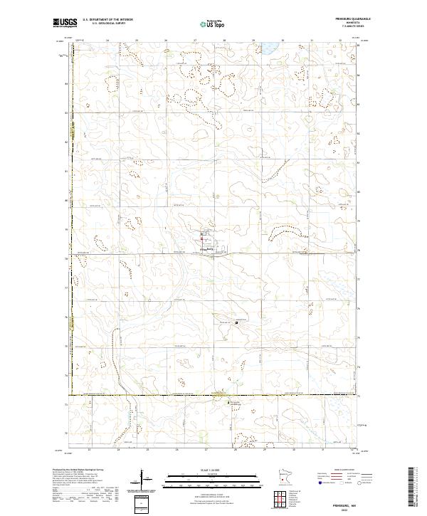
2022 Map of Prinsburg
USGS Topo · Published 2022About this map
Prinsburg serves as the central hub of this agricultural landscape in West Central Minnesota, situated near the intersection of Co Hwy 50 and 195th Ave SW. The town's grid is anchored by Kandiyohi Ave and Pleasant Ave, surrounded by a highly organized section-line road network that defines the region's farming heritage. The landscape is characterized by its drainage and water management systems, including Chetomba Cr and the engineered path of County Ditch Number Seventeen-A. For those researching family history, the map provides precise locations for the Holland Cem and the Old Swedish Lutheran Cem, the latter situated right on the border of Kandiyohi and Renville counties. This boundary is further marked by the Kandi-Renville Co Line Rd, illustrating how early 20th-century infrastructure followed political lines.
Find a feature on this map
28 named features on this map. Tap any name to fly to it.
Don’t see what you’re looking for? This feature index may not catch every label — zoom into the map to look around manually.
Map Details
Editions of this 2022 Prinsburg Map
This is the sole edition of this map. No revisions or reprints were ever made.
Other maps of this area

1953 · New Ulm
USGS Topo · 1:250,000

1953 · Saint Cloud
USGS Topo · 1:250,000

1957 · Saint Cloud
USGS Topo · 1:250,000

1957 · New Ulm
USGS Topo · 1:250,000

1958 · New Ulm
USGS Topo · 1:250,000

1958 · Saint Cloud
USGS Topo · 1:250,000

1958 · Kerkhoven SE
USGS Topo · 1:24,000

1958 · Raymond
USGS Topo · 1:24,000

1958 · Willmar
USGS Topo · 1:24,000

1965 · Danube
USGS Topo · 1:24,000