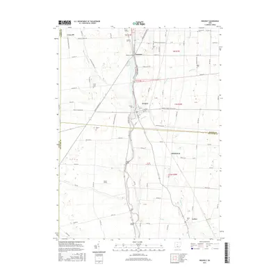
2016 Map of Prospect
USGS Topo · Published 2016About this map
The Scioto River winds southward through the center of this landscape, serving as a geographic anchor for the settlements of Prospect and Radnor. This 2016 survey highlights a well-established rural infrastructure where agricultural roads like LaRue-Prospect Rd S and Marion Marysville Rd connect historically significant family and community burial grounds. These include Otterbein Cem, Schweinfurth Cem, and the Brown Taylor Cem, providing valuable spatial data for genealogists tracing local lineage.
Find a feature on this map
103 named features on this map. Tap any name to fly to it.
Don’t see what you’re looking for? This feature index may not catch every label — zoom into the map to look around manually.
Map Details
Editions of this 2016 Prospect Map
This is the sole edition of this map. No revisions or reprints were ever made.
Other maps of this area

1903 · Marion
USGS Topo · 1:62,500

1905 · Marion
USGS Topo · 1:62,500

1913 · Richwood
USGS Topo · 1:62,500

1915 · Richwood
USGS Topo · 1:62,500

1915 · La Rue
USGS Topo · 1:62,500

1924 · Delaware
USGS Topo · 1:62,500

1925 · Delaware
USGS Topo · 1:62,500

1944 · Richwood
USGS Topo · 1:62,500

1944 · Delaware
USGS Topo · 1:62,500

1950 · Marion
USGS Topo · 1:250,000