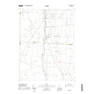
2019 Map of Prospect
USGS Topo · Published 2019About this map
The Scioto River defines the central axis of this landscape, flowing through a region where the borders of Union, Marion, and Delaware counties converge. In the northern reaches, the village of Prospect sits as a primary hub, while smaller historic clusters like Newmans and Centerville dot the road network to the west. The map reveals a high density of family-named burial grounds, such as Brown Taylor Cem and Otterbein Cem, which serve as vital markers for local genealogical research.
Find a feature on this map
94 named features on this map. Tap any name to fly to it.
Don’t see what you’re looking for? This feature index may not catch every label — zoom into the map to look around manually.
Map Details
Editions of this 2019 Prospect Map
This is the sole edition of this map. No revisions or reprints were ever made.
Other maps of this area

1903 · Marion
USGS Topo · 1:62,500

1905 · Marion
USGS Topo · 1:62,500

1913 · Richwood
USGS Topo · 1:62,500

1915 · Richwood
USGS Topo · 1:62,500

1915 · La Rue
USGS Topo · 1:62,500

1924 · Delaware
USGS Topo · 1:62,500

1925 · Delaware
USGS Topo · 1:62,500

1944 · Richwood
USGS Topo · 1:62,500

1944 · Delaware
USGS Topo · 1:62,500

1950 · Marion
USGS Topo · 1:250,000