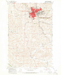
1964 Map of Pullman
USGS Topo · Published 1965About this map
Washington State University and its sprawling campus dominate the northeast quadrant of this mid-1960s survey, revealing a landscape defined by higher education and intensive agriculture. The city of Pullman serves as a hub where the Northern Pacific and Union Pacific railroads converge, supporting the transport needs of the surrounding Palouse hills. Beyond the urban center, the WSU Experimental Farm and several gravel and borrow pits indicate the region's reliance on land research and resource extraction. Smaller agrarian outposts like Staley, Chambers, and Johnson dot the countryside, connected by winding roads that follow the drainage patterns of the South Fork Palouse River and Union Flat Creek. Local landmarks such as the City Cemetery, Whitlow Quarry, and numerous neighborhood schools like Edison Sch and Franklin Sch provide specific points of interest for genealogical and local history research.
Find a feature on this map
34 named features on this map. Tap any name to fly to it.
Don’t see what you’re looking for? This feature index may not catch every label — zoom into the map to look around manually.
Map Details
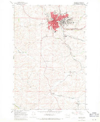
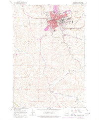
Editions of this 1964 Pullman Map
3 editions found
Other maps of this area

1910 · Pullman
USGS Topo · 1:125,000

1955 · Pullman
USGS Topo · 1:250,000

1958 · Pullman
USGS Topo · 1:250,000

1964 · Viola
USGS Topo · 1:24,000

1964 · Moscow West
USGS Topo · 1:24,000

1964 · Colton
USGS Topo · 1:24,000
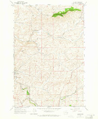
1964 · Albion
USGS Topo · 1:24,000

1964 · Colfax South
USGS Topo · 1:24,000

1964 · Ewartsville
USGS Topo · 1:24,000

1964 · Bishop
USGS Topo · 1:24,000