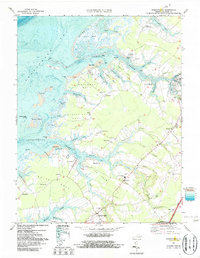
1968 Map of Pungoteague
USGS Topo · Published 1987About this map
Onancock Creek and Pungoteague Creek dominate this coastal landscape of Accomack County, where a network of necks and marshes meets the Chesapeake Bay. The settlement patterns here follow the water, with older landing sites like Finneys Wharf and Boggs Wharf serving the agricultural interior. Inland, the town of Pungoteague sits as a central node, surrounded by community landmarks such as St George Ch and Evergreen Ch.
Find a feature on this map
83 named features on this map. Tap any name to fly to it.
Don’t see what you’re looking for? This feature index may not catch every label — zoom into the map to look around manually.
Map Details
Editions of this 1968 Pungoteague Map
3 editions found
Other maps of this area

1903 · Crisfield
USGS Topo · 1:62,500

1920 · Crisfield
USGS Topo · 1:62,500

1931 · Accomac
USGS Topo · 1:48,000

1935 · Accomac
USGS Topo · 1:62,500

1942 · Chesconessex
USGS Topo · 1:31,680

1942 · Nandua Creek
USGS Topo · 1:24,000

1942 · Tangier Island
USGS Topo · 1:24,000

1942 · Parksley
USGS Topo · 1:24,000

1943 · Jamesville
USGS Topo · 1:31,680

1943 · Pungoteague
USGS Topo · 1:31,680