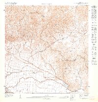
1947 Map of Punta Guayanes NO
USGS Topo · Published 1947About this map
Colonia Monserrate and the agricultural lands along the Río Guayanés dominate this coastal landscape during the late 1940s. The map illustrates a transitional period in eastern Puerto Rico where industrial and agricultural infrastructure meet the sea at Puerto Yabucoa. Evidence of the region's sugar economy is prominent, specifically the rail lines of the Central Roig which weave through the flatlands to support the transport of cane.
Find a feature on this map
11 named features on this map. Tap any name to fly to it.
Don’t see what you’re looking for? This feature index may not catch every label — zoom into the map to look around manually.
Map Details
Editions of this 1947 Punta Guayanes NO Map
This is the sole edition of this map. No revisions or reprints were ever made.
Other maps of this area

1946 · Humacao
USGS Topo · 1:30,000

1946 · Punta Guayanes
USGS Topo · 1:30,000

1946 · Juncos
USGS Topo · 1:30,000

1946 · Yabucoa
USGS Topo · 1:30,000
1947 · Humacao SO
USGS Topo · 1:10,000
1947 · Punta Guayanes NE
USGS Topo · 1:10,000
1947 · Yabucoa SE
USGS Topo · 1:10,000
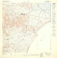
1947 · Humacao SE
USGS Topo · 1:10,000
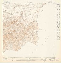
1947 · Punta Guayanes SO
USGS Topo · 1:10,000
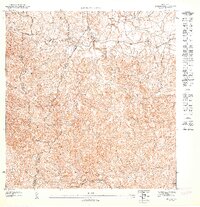
1947 · Juncos SE
USGS Topo · 1:10,000
Featured Places
- Sector Soto Monte, Yabucoa
- Urbanización Arboleda, Humacao
- Sector Los Veteranos, Yabucoa
- Miradero, Humacao
- Parque de Candelero, Humacao