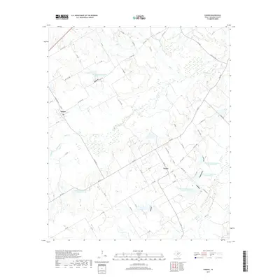
2019 Map of Purdon
USGS Topo · Published 2019About this map
Purdon and Pursley serve as the primary anchors of this Navarro County landscape, where the rural character is defined by a dense network of creek drainages and modern water management. The terrain is deeply etched by watercourses including Richland Cr, Battle Cr, and Rush Cr, which converge to shape the local topography. A series of numbered reservoirs, such as Soil Conservation Service Site 129 Reservoir and Soil Conservation Service Site 35 Reservoir, illustrate mid-to-late 20th-century soil conservation efforts designed to manage the flow of creeks like Pin Oak Cr and Board Cr. This 2019 survey documents a landscape of sprawling ranch roads and farm-to-market routes, including FM 709 S and Ranch Rd 55, that connect isolated homesteads and agriculture with the nearby settlements. The presence of Carroll Lake and numerous smaller tributaries like Melton Br highlights the enduring importance of water access in this part of north-central Texas.
Find a feature on this map
65 named features on this map. Tap any name to fly to it.
Don’t see what you’re looking for? This feature index may not catch every label — zoom into the map to look around manually.
Map Details
Editions of this 2019 Purdon Map
This is the sole edition of this map. No revisions or reprints were ever made.
Other maps of this area

1954 · Dallas
USGS Topo · 1:250,000

1954 · Waco
USGS Topo · 1:250,000

1955 · Waco
USGS Topo · 1:250,000

1956 · Dawson
USGS Topo · 1:24,000

1958 · Dallas
USGS Topo · 1:250,000

1963 · Richland
USGS Topo · 1:24,000

1963 · Wortham
USGS Topo · 1:24,000
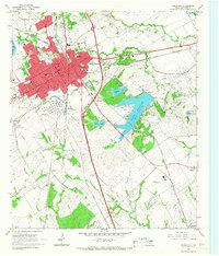
1965 · Corsicana
USGS Topo · 1:24,000

1965 · Coolidge
USGS Topo · 1:24,000
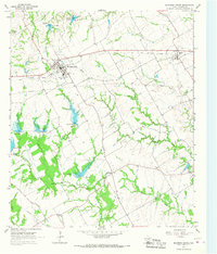
1965 · Blooming Grove
USGS Topo · 1:24,000