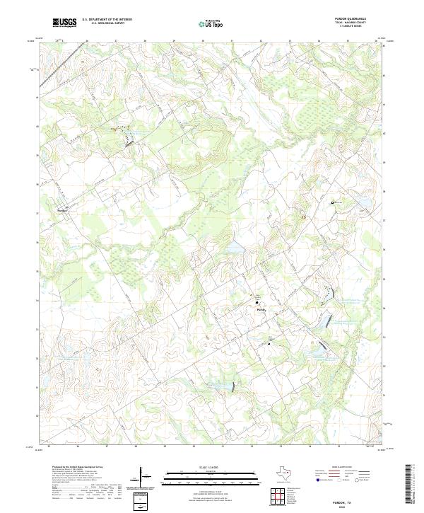
2022 Map of Purdon
USGS Topo · Published 2022About this map
Purdon and Pursley anchor this rural landscape in southwestern Navarro County, where the topography is defined by the extensive drainage network of Richland Cr and its numerous tributaries. The area is marked by a sophisticated water management system, illustrated by several reservoirs such as Soil Conservation Service Site 129 Reservoir and Soil Conservation Service Site 35 Reservoir, which serve the agricultural lands between Battle Cr and Pin Oak Cr.
Find a feature on this map
68 named features on this map. Tap any name to fly to it.
Don’t see what you’re looking for? This feature index may not catch every label — zoom into the map to look around manually.
Map Details
Editions of this 2022 Purdon Map
This is the sole edition of this map. No revisions or reprints were ever made.
Other maps of this area

1954 · Dallas
USGS Topo · 1:250,000

1954 · Waco
USGS Topo · 1:250,000

1955 · Waco
USGS Topo · 1:250,000

1956 · Dawson
USGS Topo · 1:24,000

1958 · Dallas
USGS Topo · 1:250,000

1963 · Richland
USGS Topo · 1:24,000

1963 · Wortham
USGS Topo · 1:24,000
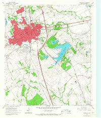
1965 · Corsicana
USGS Topo · 1:24,000

1965 · Coolidge
USGS Topo · 1:24,000
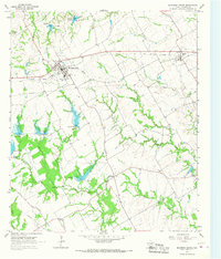
1965 · Blooming Grove
USGS Topo · 1:24,000