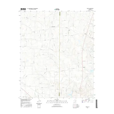
2016 Map of Purley
USGS Topo · Published 2016About this map
Purley and Cypress anchor this East Texas landscape where the Hopkins and Franklin county line divides a network of creek bottoms and rural farm-to-market roads. The terrain is defined by the drainage of Big Cypress Creek and its many tributaries, including Little Cypress Creek and Greenwood Creek, which feed into the significant waters of Lake Cypress Springs in the southeast. This 2016 survey captures the area's agricultural character, dotted with small communities like Greenwood and marked by local landmarks like the Pleasant Hill Cemetery and Liberty Cemetery. To the south, Lake Franklin sits near the confluence of Glade Branch, illustrating the water-rich geography of the Piney Woods edge. The map provides a clear view of the modern road network, from FM 900 to the grid of county roads that service these historic rural settlements.
Find a feature on this map
80 named features on this map. Tap any name to fly to it.
Don’t see what you’re looking for? This feature index may not catch every label — zoom into the map to look around manually.
Map Details
Editions of this 2016 Purley Map
This is the sole edition of this map. No revisions or reprints were ever made.
Other maps of this area

1953 · Texarkana
USGS Topo · 1:250,000

1956 · Texarkana
USGS Topo · 1:250,000

1956 · Tyler
USGS Topo · 1:250,000

1960 · Winnsboro
USGS Topo · 1:24,000

1960 · Newsome
USGS Topo · 1:24,000

1960 · Pleasant Grove
USGS Topo · 1:24,000

1964 · Mount Vernon
USGS Topo · 1:24,000

1964 · Saltillo
USGS Topo · 1:24,000

1964 · Como
USGS Topo · 1:24,000

1964 · Purley
USGS Topo · 1:24,000