
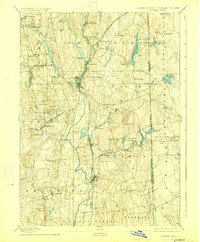
1893 Map of Putnam
USGS Topo · Published 1893About this map
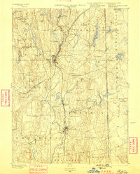
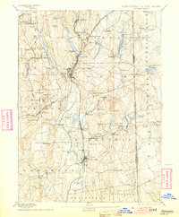
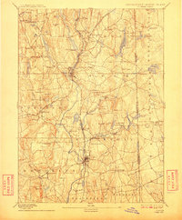
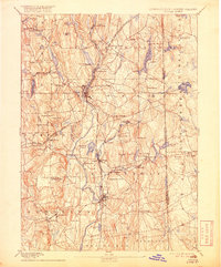
The Quinebaug River and French River corridors define this late 19th-century landscape, where the industrial legacy of northeastern Connecticut is captured in its prime. Textile and manufacturing hubs such as North Grosvenor Dale, Attawaugan, and Ballouville are shown integrated with the Norwich and Worcester Railroad, reflecting the region's intense water-powered development. The terrain transitions from the river valleys to prominent high points like Jerimoth Hill and Mount Hygeia along the Connecticut Rhode Island Boundary Line. In the west, the rural character of the Pomfret area is marked by a series of distinct village centers, including Pomfret Street and Pomfret Landing, while the southern reaches center on the commercial activity of Danielsonville and the agricultural lands near Allen Hill.
Find a feature on this map
79 named features on this map. Tap any name to fly to it.
Don’t see what you’re looking for? This feature index may not catch every label — zoom into the map to look around manually.
Map Details
Editions of this 1893 Putnam Map
8 editions found
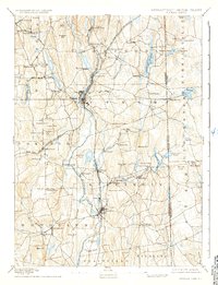
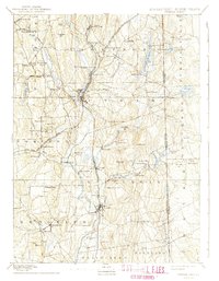
Other maps of this area

1886 · Blackstone
USGS Topo · 1:62,500

1887 · Brookfield
USGS Topo · 1:62,500

1889 · Blackstone
USGS Topo · 1:62,500

1889 · Webster
USGS Topo · 1:62,500

1889 · Putnam
USGS Topo · 1:62,500

1889 · Burrillville
USGS Topo · 1:62,500

1889 · Moosup
USGS Topo · 1:62,500

1890 · Brookfield
USGS Topo · 1:62,500

1890 · Kent
USGS Topo · 1:62,500

1892 · Woodstock
USGS Topo · 1:62,500