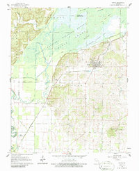
1962 Map of Puxico
USGS Topo · Published 1963About this map
Mingo National Wildlife Refuge dominates the northern landscape of this Missouri Ozark foothills region, where the flat, swampy lowlands of the Mississippi Embayment meet the rising ridges of Jefferson and Wayne County. The drainage of the area is meticulously managed through a dense grid of canals, including Ditch No 10 and Coal Oil Johnny Ditch, alongside natural features like Rockhouse Cypress Lake. The town of Puxico sits at the intersection of high ground and wetland, served in the early 1960s by the St Louis San Francisco railroad line. To the south, the terrain transitions into agricultural plots and small communities like Asherville and Cobb. Local genealogy is preserved through numerous rural landmarks, from Gravel Hill Cemetery to several denominational hubs including Egypt Church and Corinth Church.
Find a feature on this map
55 named features on this map. Tap any name to fly to it.
Don’t see what you’re looking for? This feature index may not catch every label — zoom into the map to look around manually.
Map Details
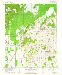
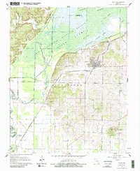
Editions of this 1962 Puxico Map
3 editions found
Other maps of this area

1934 · Greenville
USGS Topo · 1:62,500

1934 · Puxico
USGS Topo · 1:62,500

1935 · Poplar Bluff
USGS Topo · 1:62,500

1935 · Zalma
USGS Topo · 1:62,500

1939 · Greenville
USGS Topo · 1:62,500

1939 · Puxico
USGS Topo · 1:62,500

1939 · Zalma
USGS Topo · 1:62,500

1939 · Poplar Bluff
USGS Topo · 1:62,500

1949 · Rolla
USGS Topo · 1:250,000

1949 · Poplar Bluff
USGS Topo · 1:62,500